Distance to Moran, Indiana

Calculating Your Route
Just a moment while we process your request...
Location Information
-
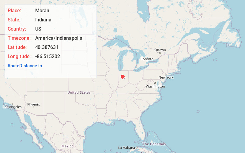
Full AddressMoran, IN 46041
-
Coordinates40.3876306, -86.5152024
-
LocationMoran , Indiana , US
-
TimezoneAmerica/Indianapolis
-
Page Views0
About Moran
Moran is an unincorporated community in Owen Township, Clinton County, Indiana. Originally a station on the Vandalia Railroad, Moran was laid out by Noah L. Bunnell in October, 1873, and named for an official of the railroad.
Nearby Places
Found 10 places within 50 miles

Sedalia
1.9 mi
3.1 km
Sedalia, IN 46041
Get directions
Geetingsville
3.2 mi
5.1 km
Geetingsville, IN 46041
Get directions

Rossville
4.6 mi
7.4 km
Rossville, IN 46065
Get directions

Cutler
6.2 mi
10.0 km
Cutler, IN 46920
Get directions
Middlefork
6.7 mi
10.8 km
Middlefork, IN 46041
Get directions

Frankfort
7.5 mi
12.1 km
Frankfort, IN 46041
Get directions

Michigantown
7.7 mi
12.4 km
Michigantown, IN 46057
Get directions
Owasco
7.8 mi
12.6 km
Owasco, IN 46065
Get directions
Risse
7.9 mi
12.7 km
Risse, Frankfort, IN 46041
Get directions
Edna Mills
8.3 mi
13.4 km
Edna Mills, IN 46065
Get directions
Location Links
Local Weather
Weather Information
Coming soon!
Location Map
Static map view of Moran, Indiana
Browse Places by Distance
Places within specific distances from Moran
Short Distances
Long Distances
Click any distance to see all places within that range from Moran. Distances shown in miles (1 mile ≈ 1.61 kilometers).