Distance to Morena, California

Calculating Your Route
Just a moment while we process your request...
Location Information
-
Full AddressMorena, San Diego, CA
-
Coordinates32.767107, -117.1941153
-
NeighborhoodMorena
-
LocationSan Diego , California , US
-
TimezoneAmerica/Los_Angeles
-
Current Local Time3:24:39 PM America/Los_AngelesThursday, June 5, 2025
-
Page Views0
About Morena
Morena is a neighborhood in San Diego, California, bordered by Bay Park to the north, Linda Vista to the east, Mission Bay to the west, and Mission Valley to the south. E. Mission Bay Drive forms the western boundary. The ZIP Code is 92110.
Nearby Places
Found 10 places within 50 miles

San Diego
4.0 mi
6.4 km
San Diego, CA
Get directions

Coronado
5.7 mi
9.2 km
Coronado, CA
Get directions

National City
8.3 mi
13.4 km
National City, CA
Get directions

Lemon Grove
9.6 mi
15.4 km
Lemon Grove, CA
Get directions

La Mesa
9.9 mi
15.9 km
La Mesa, CA
Get directions

Chula Vista
10.9 mi
17.5 km
Chula Vista, CA
Get directions

Spring Valley
11.4 mi
18.3 km
Spring Valley, CA
Get directions

Bonita
11.9 mi
19.2 km
Bonita, CA
Get directions

La Presa
12.4 mi
20.0 km
La Presa, CA
Get directions

Casa De Oro-Mount Helix
12.6 mi
20.3 km
Casa De Oro-Mount Helix, CA
Get directions
Location Links
Local Weather
Weather Information
Coming soon!
Location Map
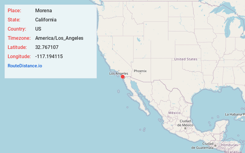
Static map view of Morena, California
Browse Places by Distance
Places within specific distances from Morena
Short Distances
Long Distances
Click any distance to see all places within that range from Morena. Distances shown in miles (1 mile ≈ 1.61 kilometers).