Distance to Morganton, Tennessee

Calculating Your Route
Just a moment while we process your request...
Location Information
-
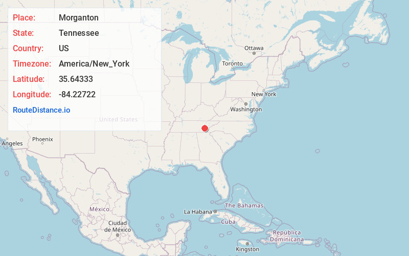
Full AddressMorganton, TN 37742
-
Coordinates35.64333, -84.22722
-
LocationMorganton , Tennessee , US
-
TimezoneAmerica/New_York
-
Current Local Time11:30:37 PM America/New_YorkThursday, May 22, 2025
-
Page Views0
About Morganton
Morganton was a community that developed on the Little Tennessee River in Loudon County, Tennessee, in the southeastern United States. It was located 13.7 miles above the mouth of the river at its confluence with Bakers Creek, flowing westward from Maryville.
Nearby Places
Found 10 places within 50 miles

Greenback
3.3 mi
5.3 km
Greenback, TN 37742
Get directions

Vonore
3.8 mi
6.1 km
Vonore, TN
Get directions

Tellico Village
3.9 mi
6.3 km
Tellico Village, TN 37774
Get directions

Jena
4.1 mi
6.6 km
Jena, Greenback, TN 37742
Get directions
Meadow
5.1 mi
8.2 km
Meadow, TN 37742
Get directions
McMullens
5.9 mi
9.5 km
McMullens, TN 37772
Get directions
Big Piney
6.7 mi
10.8 km
Big Piney, TN 37774
Get directions
Phillips
6.9 mi
11.1 km
Phillips, TN 37354
Get directions
Brick Mill
7.0 mi
11.3 km
Brick Mill, TN 37801
Get directions
Howard
7.5 mi
12.1 km
Howard, TN 37885
Get directions
Location Links
Local Weather
Weather Information
Coming soon!
Location Map
Static map view of Morganton, Tennessee
Browse Places by Distance
Places within specific distances from Morganton
Short Distances
Long Distances
Click any distance to see all places within that range from Morganton. Distances shown in miles (1 mile ≈ 1.61 kilometers).