Distance to Morganville, Ohio

Calculating Your Route
Just a moment while we process your request...
Location Information
-
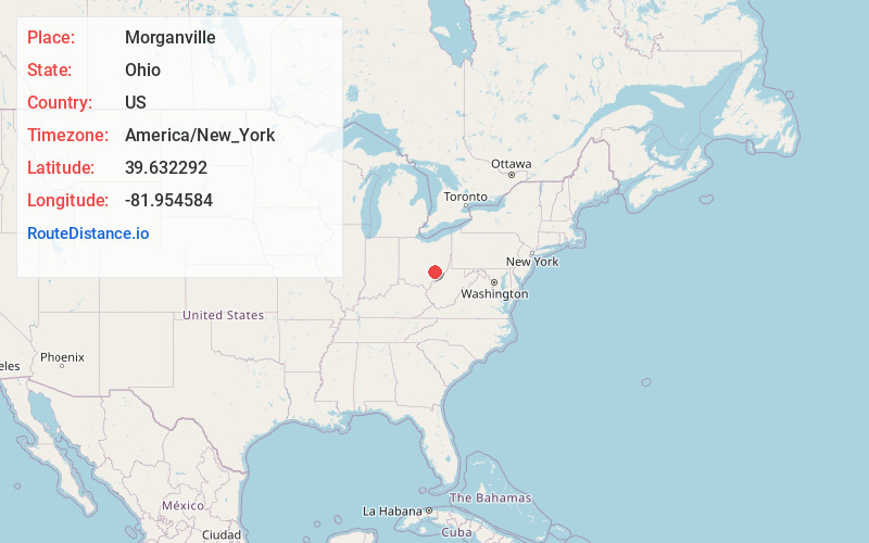
Full AddressMorganville, OH 43758
-
Coordinates39.6322922, -81.9545836
-
LocationMorganville , Ohio , US
-
TimezoneAmerica/New_York
-
Current Local Time11:02:13 AM America/New_YorkSunday, June 1, 2025
-
Page Views0
About Morganville
Morganville is an unincorporated community in Morgan County, in the U.S. state of Ohio.
Nearby Places
Found 10 places within 50 miles

San Toy
4.6 mi
7.4 km
San Toy, Bearfield Township, OH 43730
Get directions

Malta
5.1 mi
8.2 km
Malta, OH 43758
Get directions

McConnelsville
5.5 mi
8.9 km
McConnelsville, OH 43756
Get directions

Westland
6.4 mi
10.3 km
Westland, OH 43728
Get directions

Rendville
7.3 mi
11.7 km
Rendville, OH 43730
Get directions
Rokeby Lock
7.4 mi
11.9 km
Rokeby Lock, OH 43756
Get directions

Corning
7.4 mi
11.9 km
Corning, OH 43730
Get directions
Eagleport
7.5 mi
12.1 km
Eagleport, Bloom Township, OH 43756
Get directions
Oakfield
8.8 mi
14.2 km
Oakfield, Pleasant Township, OH 43731
Get directions
Rose Farm
9.7 mi
15.6 km
Rose Farm, OH 43731
Get directions
Location Links
Local Weather
Weather Information
Coming soon!
Location Map
Static map view of Morganville, Ohio
Browse Places by Distance
Places within specific distances from Morganville
Short Distances
Long Distances
Click any distance to see all places within that range from Morganville. Distances shown in miles (1 mile ≈ 1.61 kilometers).