Distance to Moro, Oregon

Calculating Your Route
Just a moment while we process your request...
Location Information
-
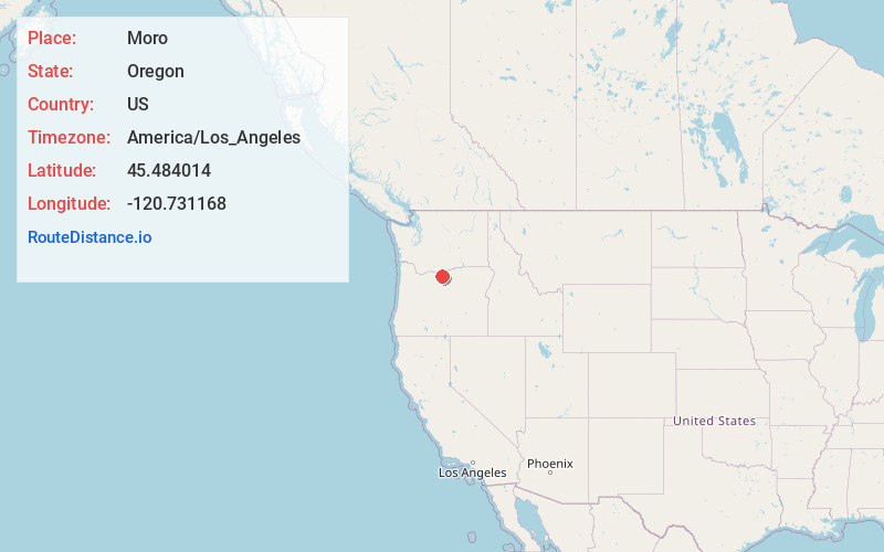
Full AddressMoro, OR
-
Coordinates45.4840141, -120.731168
-
LocationMoro , Oregon , US
-
TimezoneAmerica/Los_Angeles
-
Current Local Time10:27:06 AM America/Los_AngelesFriday, June 13, 2025
-
Page Views0
About Moro
Moro is a city in Sherman County, Oregon, United States. The population was 324 at the 2010 census. It is the county seat of Sherman County. It’s currently the least-populous county seat in Oregon. Moro was incorporated on February 17, 1899, by the Oregon Legislative Assembly. It was named for Moro, Illinois.


Nearby Places
Found 10 places within 50 miles

Wasco
7.6 mi
12.2 km
Wasco, OR 97065
Get directions

Wishram
16.5 mi
26.6 km
Wishram, WA
Get directions

Dufur
19.5 mi
31.4 km
Dufur, OR 97021
Get directions

The Dalles
23.4 mi
37.7 km
The Dalles, OR 97058
Get directions

Dallesport
23.6 mi
38.0 km
Dallesport, WA
Get directions

Goldendale
23.8 mi
38.3 km
Goldendale, WA 98620
Get directions

Chenoweth
26.7 mi
43.0 km
Chenoweth, OR 97058
Get directions

Arlington
30.3 mi
48.8 km
Arlington, OR 97812
Get directions

Condon
31.6 mi
50.9 km
Condon, OR 97823
Get directions

Pine Hollow
32.0 mi
51.5 km
Pine Hollow, OR 97063
Get directions
Location Links
Local Weather
Weather Information
Coming soon!
Location Map
Static map view of Moro, Oregon
Browse Places by Distance
Places within specific distances from Moro
Short Distances
Long Distances
Click any distance to see all places within that range from Moro. Distances shown in miles (1 mile ≈ 1.61 kilometers).