Distance to Morrow Mountain State Park, North Carolina

Calculating Your Route
Just a moment while we process your request...
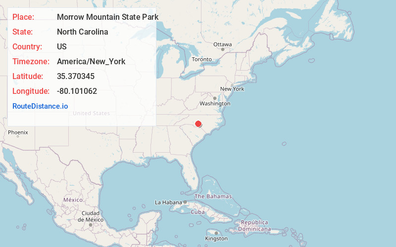
Location Information
-
Full AddressMorrow Mountain State Park, 49104 Morrow Mountain Rd, Albemarle, NC 28001
-
Coordinates35.3703453, -80.101062
-
Street49104 Morrow Mountain Rd
-
LocationAlbemarle , North Carolina , US
-
TimezoneAmerica/New_York
-
Current Local Time6:19:28 AM America/New_YorkWednesday, May 21, 2025
-
Page Views0
About Morrow Mountain State Park
Mountain park with a lake & river offering fishing, canoeing, hiking, horseback riding & camping.


Nearby Places
Found 10 places within 50 miles

Badin
2.5 mi
4.0 km
Badin, NC
Get directions

Woodrun
3.5 mi
5.6 km
Woodrun, NC 27306
Get directions
River Haven
3.9 mi
6.3 km
River Haven, NC 28001
Get directions
Palmerville
4.0 mi
6.4 km
Palmerville, NC 28127
Get directions
Palestine
4.3 mi
6.9 km
Palestine, NC 28001
Get directions

Albemarle
5.8 mi
9.3 km
Albemarle, NC
Get directions
Uwharrie
6.3 mi
10.1 km
Uwharrie, NC 27371
Get directions
Isenhour
6.3 mi
10.1 km
Isenhour, NC 28127
Get directions
Liberty Hill
6.4 mi
10.3 km
Liberty Hill, NC 27371
Get directions
Whitney
7.5 mi
12.1 km
Whitney, NC 28127
Get directions
Location Links
Local Weather
Weather Information
Coming soon!
Location Map
Static map view of Morrow Mountain State Park, North Carolina
Browse Places by Distance
Places within specific distances from Morrow Mountain State Park
Short Distances
Long Distances
Click any distance to see all places within that range from Morrow Mountain State Park. Distances shown in miles (1 mile ≈ 1.61 kilometers).