Distance to Mound Township, Missouri

Calculating Your Route
Just a moment while we process your request...
Location Information
-
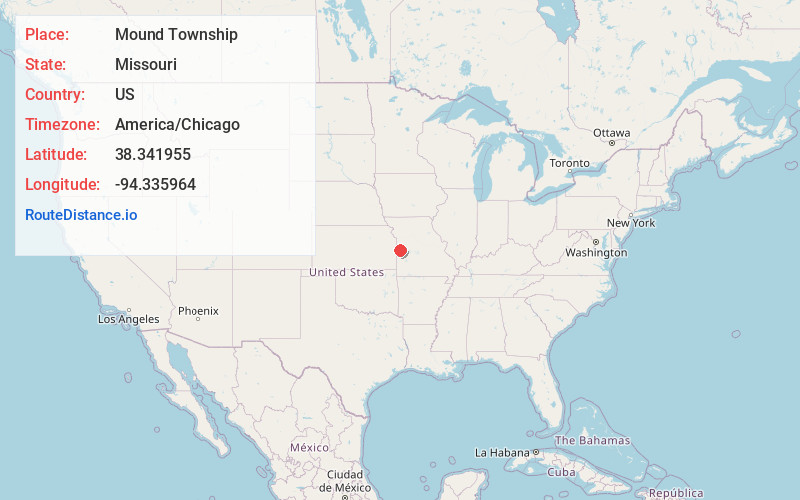
Full AddressMound Township, MO
-
Coordinates38.3419548, -94.3359635
-
LocationMound Township , Missouri , US
-
TimezoneAmerica/Chicago
-
Current Local Time4:14:17 AM America/ChicagoSaturday, June 14, 2025
-
Page Views0
About Mound Township
Mound Township is one of twenty-four townships in Bates County, Missouri, and is part of the Kansas City metropolitan area within the USA. As of the 2000 census, its population was 819.
Mound Township was named for the mounds within its borders.

Nearby Places
Found 10 places within 50 miles

Passaic
1.5 mi
2.4 km
Passaic, MO 64730
Get directions

Adrian
3.9 mi
6.3 km
Adrian, MO 64720
Get directions

Butler
5.8 mi
9.3 km
Butler, MO 64730
Get directions
Crescent Hill
6.3 mi
10.1 km
Crescent Hill, Deer Creek Township, MO 64725
Get directions
Altona
6.8 mi
10.9 km
Altona, MO 64720
Get directions
Lacyville
8.8 mi
14.2 km
Lacyville, East Boone Township, MO 64720
Get directions

Archie
9.7 mi
15.6 km
Archie, MO 64725
Get directions
Burdett
10.2 mi
16.4 km
Burdett, East Boone Township, MO 64720
Get directions
Ballard
10.5 mi
16.9 km
Ballard, Spruce Township, MO 64730
Get directions
Nyhart
10.9 mi
17.5 km
Nyhart, New Home Township, MO 64730
Get directions
Location Links
Local Weather
Weather Information
Coming soon!
Location Map
Static map view of Mound Township, Missouri
Browse Places by Distance
Places within specific distances from Mound Township
Short Distances
Long Distances
Click any distance to see all places within that range from Mound Township. Distances shown in miles (1 mile ≈ 1.61 kilometers).