Distance to Mount Eagle, Pennsylvania

Calculating Your Route
Just a moment while we process your request...
Location Information
-
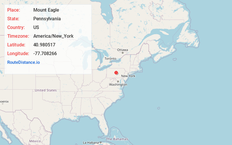
Full AddressMount Eagle, PA 16841
-
Coordinates40.980517, -77.708266
-
LocationMount Eagle , Pennsylvania , US
-
TimezoneAmerica/New_York
-
Current Local Time4:37:04 PM America/New_YorkMonday, June 23, 2025
-
Page Views0
About Mount Eagle
Mount Eagle is an unincorporated community and census-designated place in Howard Township, Centre County, Pennsylvania, United States. As of the 2010 census, the population was 103.
Nearby Places
Found 10 places within 50 miles

Curtin
1.9 mi
3.1 km
Curtin, Boggs Township, PA 16823
Get directions

Howard
3.5 mi
5.6 km
Howard, PA 16841
Get directions
Mingoville
4.3 mi
6.9 km
Mingoville, PA 16823
Get directions
Zion
4.7 mi
7.6 km
Zion, PA 16823
Get directions

Milesburg
4.8 mi
7.7 km
Milesburg, PA
Get directions
Moose Run
5.1 mi
8.2 km
Moose Run, Milesburg, PA 16823
Get directions
Hublersburg
5.3 mi
8.5 km
Hublersburg, PA
Get directions

Walker Township
5.3 mi
8.5 km
Walker Township, PA
Get directions

Yarnell
5.5 mi
8.9 km
Yarnell, PA
Get directions

Bellefonte
5.9 mi
9.5 km
Bellefonte, PA 16823
Get directions
Location Links
Local Weather
Weather Information
Coming soon!
Location Map
Static map view of Mount Eagle, Pennsylvania
Browse Places by Distance
Places within specific distances from Mount Eagle
Short Distances
Long Distances
Click any distance to see all places within that range from Mount Eagle. Distances shown in miles (1 mile ≈ 1.61 kilometers).