Distance to Mount Zion, Wisconsin

Calculating Your Route
Just a moment while we process your request...
Location Information
-
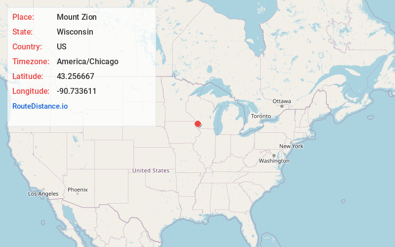
Full AddressMount Zion, WI 53805
-
Coordinates43.256667, -90.733611
-
LocationMount Zion , Wisconsin , US
-
TimezoneAmerica/Chicago
-
Current Local Time1:48:28 PM America/ChicagoMonday, June 16, 2025
-
Page Views0
About Mount Zion
Mount Zion is an unincorporated community in the town of Scott, Crawford County, Wisconsin, United States. Mount Zion is located on U.S. Route 61 5.5 miles east-southeast of Bell Center.


Nearby Places
Found 10 places within 50 miles

Rolling Ground
5.0 mi
8.0 km
Rolling Ground, WI 54655
Get directions

Bell Center
5.3 mi
8.5 km
Bell Center, WI 54631
Get directions
Excelsior
5.3 mi
8.5 km
Excelsior, WI 53518
Get directions
Petersburg
5.3 mi
8.5 km
Petersburg, Haney, WI 54631
Get directions
Westport
5.9 mi
9.5 km
Westport, WI 53518
Get directions
Barnum
5.9 mi
9.5 km
Barnum, Haney, WI 54631
Get directions
Montgomeryville
6.9 mi
11.1 km
Montgomeryville, Clayton, WI 54655
Get directions

Gays Mills
7.0 mi
11.3 km
Gays Mills, WI 54631
Get directions
Easter Rock
7.3 mi
11.7 km
Easter Rock, Marietta, WI 53805
Get directions
Steuben
8.2 mi
13.2 km
Steuben, WI
Get directions
Location Links
Local Weather
Weather Information
Coming soon!
Location Map
Static map view of Mount Zion, Wisconsin
Browse Places by Distance
Places within specific distances from Mount Zion
Short Distances
Long Distances
Click any distance to see all places within that range from Mount Zion. Distances shown in miles (1 mile ≈ 1.61 kilometers).