Distance to Mountain Fork, Arkansas

Calculating Your Route
Just a moment while we process your request...
Location Information
-
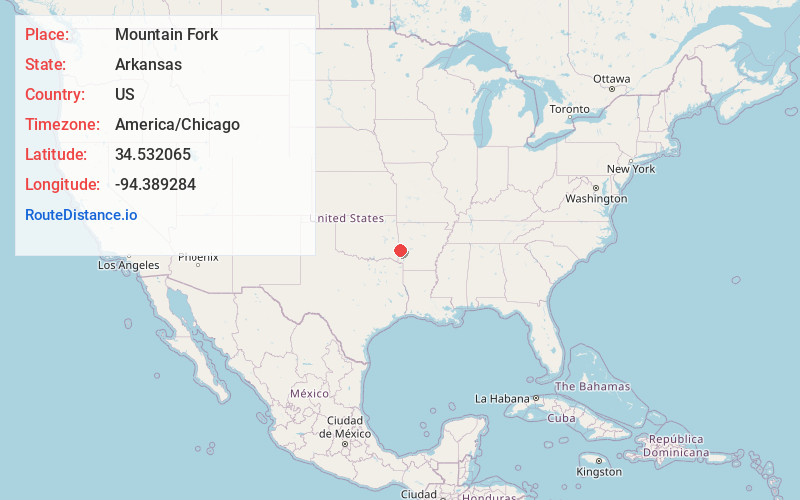
Full AddressMountain Fork, Arkansas 71945
-
Coordinates34.5320648, -94.3892836
-
LocationArkansas , US
-
TimezoneAmerica/Chicago
-
Current Local Time12:55:07 PM America/ChicagoWednesday, June 25, 2025
-
Page Views0
Nearby Places
Found 10 places within 50 miles

Potter
3.2 mi
5.1 km
Potter, AR 71953
Get directions
Hatfield
3.3 mi
5.3 km
Hatfield, AR 71945
Get directions
Old Cove
5.9 mi
9.5 km
Old Cove, AR 71945
Get directions
Cove
6.8 mi
10.9 km
Cove, AR 71937
Get directions

Mena
9.4 mi
15.1 km
Mena, AR 71953
Get directions
Plunketville
9.9 mi
15.9 km
Plunketville, OK 74963
Get directions
Vandervoort
10.5 mi
16.9 km
Vandervoort, AR
Get directions
Beachton
10.5 mi
16.9 km
Beachton, OK 74957
Get directions

Eagleton
11.4 mi
18.3 km
Eagleton, AR 71953
Get directions
Hatton
12.0 mi
19.3 km
Hatton, AR 71937
Get directions
Location Links
Local Weather
Weather Information
Coming soon!
Location Map
Static map view of Mountain Fork, Arkansas
Browse Places by Distance
Places within specific distances from Mountain Fork
Short Distances
Long Distances
Click any distance to see all places within that range from Mountain Fork. Distances shown in miles (1 mile ≈ 1.61 kilometers).