Distance to Mowata, Louisiana

Calculating Your Route
Just a moment while we process your request...
Location Information
-
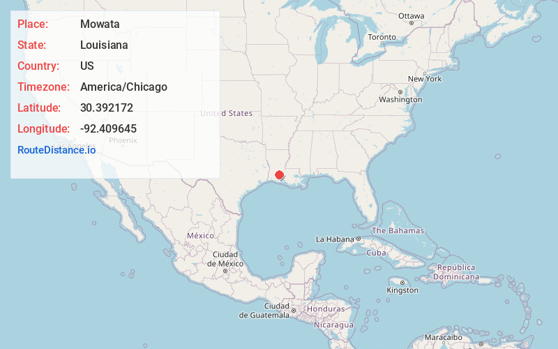
Full AddressMowata, LA 70543
-
Coordinates30.392172, -92.409645
-
LocationMowata , Louisiana , US
-
TimezoneAmerica/Chicago
-
Current Local Time9:02:35 AM America/ChicagoMonday, June 23, 2025
-
Page Views0
About Mowata
Mowata is a small farming unincorporated community in Acadia Parish, Louisiana, United States, located between Crowley and Eunice along LA Hwy 13. The community is part of the Crowley Micropolitan Statistical Area.
The community includes the St. Lawrence Catholic church with a baseball park on the grounds.

Nearby Places
Found 10 places within 50 miles

Rork
3.3 mi
5.3 km
Rork, LA 70535
Get directions

Iota
6.6 mi
10.6 km
Iota, LA 70543
Get directions

Eunice
7.1 mi
11.4 km
Eunice, LA 70535
Get directions
Tepetate
8.7 mi
14.0 km
Tepetate, LA 70515
Get directions

Branch
9.0 mi
14.5 km
Branch, LA 70516
Get directions
Tyrone
9.4 mi
15.1 km
Tyrone, LA 70515
Get directions

Church Point
11.6 mi
18.7 km
Church Point, LA 70525
Get directions
Swords
12.1 mi
19.5 km
Swords, LA 70570
Get directions

Egan
12.2 mi
19.6 km
Egan, LA
Get directions

Crowley
12.5 mi
20.1 km
Crowley, LA 70526
Get directions
Location Links
Local Weather
Weather Information
Coming soon!
Location Map
Static map view of Mowata, Louisiana
Browse Places by Distance
Places within specific distances from Mowata
Short Distances
Long Distances
Click any distance to see all places within that range from Mowata. Distances shown in miles (1 mile ≈ 1.61 kilometers).