Distance to Mt Aetna, Maryland

Calculating Your Route
Just a moment while we process your request...
Location Information
-
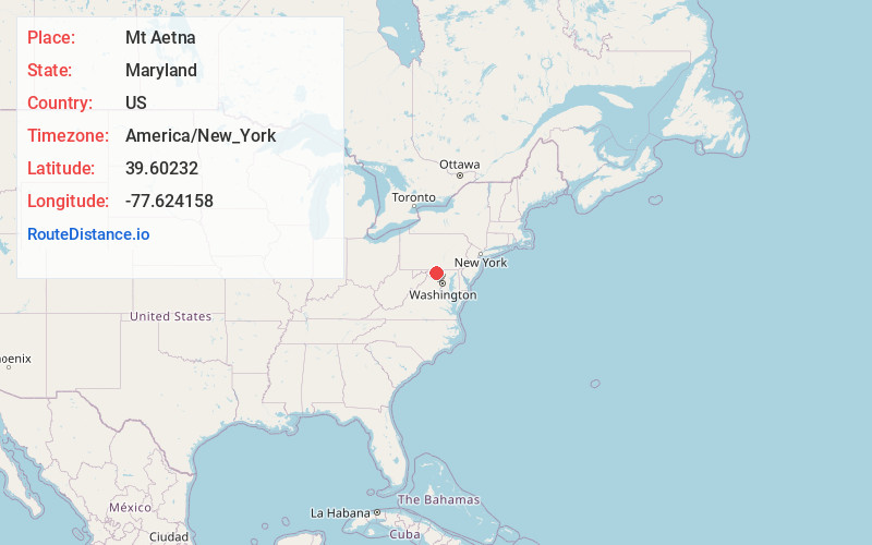
Full AddressMt Aetna, MD
-
Coordinates39.6023197, -77.6241575
-
LocationMt Aetna , Maryland , US
-
TimezoneAmerica/New_York
-
Current Local Time3:17:43 PM America/New_YorkWednesday, June 18, 2025
-
Page Views0
About Mt Aetna
Mount Aetna is a census-designated place in Washington County, Maryland, United States. The population was 838 at the 2000 census.
Nearby Places
Found 10 places within 50 miles

Robinwood
3.0 mi
4.8 km
Robinwood, MD
Get directions

Cavetown
3.5 mi
5.6 km
Cavetown, MD
Get directions

Funkstown
4.3 mi
6.9 km
Funkstown, MD
Get directions

Smithsburg
4.5 mi
7.2 km
Smithsburg, MD 21783
Get directions

Hagerstown
5.8 mi
9.3 km
Hagerstown, MD
Get directions
Paramount-Long Meadow
6.4 mi
10.3 km
Paramount-Long Meadow, MD 21742
Get directions

Boonsboro
6.8 mi
10.9 km
Boonsboro, MD 21713
Get directions
Halfway
7.1 mi
11.4 km
Halfway, MD
Get directions

Myersville
7.4 mi
11.9 km
Myersville, MD 21773
Get directions
Tilghmanton Heights
7.5 mi
12.1 km
Tilghmanton Heights, Fairplay, MD 21733
Get directions
Location Links
Local Weather
Weather Information
Coming soon!
Location Map
Static map view of Mt Aetna, Maryland
Browse Places by Distance
Places within specific distances from Mt Aetna
Short Distances
Long Distances
Click any distance to see all places within that range from Mt Aetna. Distances shown in miles (1 mile ≈ 1.61 kilometers).