Distance to Mt Airy, Virginia

Calculating Your Route
Just a moment while we process your request...
Location Information
-
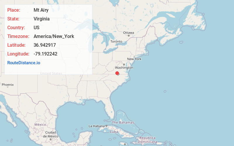
Full AddressMt Airy, VA 24557
-
Coordinates36.9429171, -79.1922419
-
LocationMt Airy , Virginia , US
-
TimezoneAmerica/New_York
-
Current Local Time1:34:24 PM America/New_YorkWednesday, June 18, 2025
-
Page Views0
About Mt Airy
Mount Airy is an unincorporated community in northeastern Pittsylvania County, Virginia, United States. Its altitude is 643 feet, and it is located at 36°56′35″N 79°11′32″W, along State Route 40 between Gretna and Brookneal. It is included in the Danville, Virginia Metropolitan Statistical Area.
Nearby Places
Found 10 places within 50 miles

Glenland
4.2 mi
6.8 km
Glenland, VA 24563
Get directions
Greenfield
5.0 mi
8.0 km
Greenfield, VA 24557
Get directions
Natal
5.1 mi
8.2 km
Natal, VA 24557
Get directions
Cody
5.7 mi
9.2 km
Cody, VA 24557
Get directions
Coles Hill
7.6 mi
12.2 km
Coles Hill, VA 24557
Get directions
Java
7.6 mi
12.2 km
Java, VA 24565
Get directions
Republican Grove
8.2 mi
13.2 km
Republican Grove, VA 24577
Get directions
Peytonsburg
8.3 mi
13.4 km
Peytonsburg, VA 24597
Get directions
Taber
9.0 mi
14.5 km
Taber, VA 24554
Get directions
Sign Rock
9.1 mi
14.6 km
Sign Rock, VA 24597
Get directions
Location Links
Local Weather
Weather Information
Coming soon!
Location Map
Static map view of Mt Airy, Virginia
Browse Places by Distance
Places within specific distances from Mt Airy
Short Distances
Long Distances
Click any distance to see all places within that range from Mt Airy. Distances shown in miles (1 mile ≈ 1.61 kilometers).