Distance to Mt Alto, West Virginia

Calculating Your Route
Just a moment while we process your request...
Location Information
-
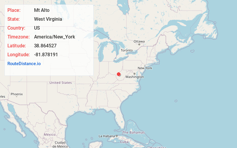
Full AddressMt Alto, WV 25264
-
Coordinates38.8645266, -81.8781907
-
LocationMt Alto , West Virginia , US
-
TimezoneAmerica/New_York
-
Current Local Time3:46:09 PM America/New_YorkFriday, June 20, 2025
-
Page Views0
About Mt Alto
Mount Alto is an unincorporated community in far western Jackson County, West Virginia, United States. It lies along West Virginia Route 331, northwest of the city of Ripley, the county seat of Jackson County. Its elevation is 709 feet. Mount Alto had a post office, which closed on June 20, 2009.
Nearby Places
Found 10 places within 50 miles

Cottageville
2.9 mi
4.7 km
Cottageville, WV 25239
Get directions

Baden
4.6 mi
7.4 km
Baden, WV 25123
Get directions
Angerona
4.6 mi
7.4 km
Angerona, WV 25241
Get directions
Great Bend
7.0 mi
11.3 km
Great Bend, Lebanon Township, OH 45771
Get directions
Dorcas
7.5 mi
12.1 km
Dorcas, Sutton Township, OH 45771
Get directions

Racine
7.6 mi
12.2 km
Racine, OH 45771
Get directions
Sidneyville
7.8 mi
12.6 km
Sidneyville, WV 25271
Get directions

Ravenswood
8.6 mi
13.8 km
Ravenswood, WV 26164
Get directions
Greer
8.7 mi
14.0 km
Greer, WV 25550
Get directions
Leon
9.0 mi
14.5 km
Leon, WV 25123
Get directions
Location Links
Local Weather
Weather Information
Coming soon!
Location Map
Static map view of Mt Alto, West Virginia
Browse Places by Distance
Places within specific distances from Mt Alto
Short Distances
Long Distances
Click any distance to see all places within that range from Mt Alto. Distances shown in miles (1 mile ≈ 1.61 kilometers).