Distance to Mt Auburn, Indiana

Calculating Your Route
Just a moment while we process your request...
Location Information
-
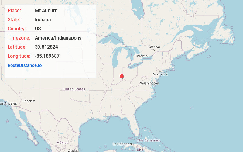
Full AddressMt Auburn, IN 47327
-
Coordinates39.8128242, -85.1896872
-
LocationMt Auburn , Indiana , US
-
TimezoneAmerica/Indianapolis
-
Page Views0
About Mt Auburn
Mount Auburn is a town in Jackson Township, Wayne County, in the U.S. state of Indiana. The population was 129 at the 2020 census. The town is sandwiched between Dublin and Cambridge City.
Nearby Places
Found 10 places within 50 miles

Cambridge City
1.0 mi
1.6 km
Cambridge City, IN 47327
Get directions

Dublin
1.0 mi
1.6 km
Dublin, IN
Get directions

Milton
2.5 mi
4.0 km
Milton, IN
Get directions
Pershing
2.8 mi
4.5 km
Pershing, IN
Get directions

New Lisbon
5.1 mi
8.2 km
New Lisbon, IN
Get directions
Jacksonburg
5.2 mi
8.4 km
Jacksonburg, IN 47327
Get directions
Straughn
5.4 mi
8.7 km
Straughn, IN
Get directions
Bentonville
5.5 mi
8.9 km
Bentonville, IN 47331
Get directions
Hiser
5.9 mi
9.5 km
Hiser, Jackson Township, IN 47357
Get directions

Hagerstown
7.0 mi
11.3 km
Hagerstown, IN 47346
Get directions
Location Links
Local Weather
Weather Information
Coming soon!
Location Map
Static map view of Mt Auburn, Indiana
Browse Places by Distance
Places within specific distances from Mt Auburn
Short Distances
Long Distances
Click any distance to see all places within that range from Mt Auburn. Distances shown in miles (1 mile ≈ 1.61 kilometers).