Distance to Mt Blanchard, Ohio

Calculating Your Route
Just a moment while we process your request...
Location Information
-
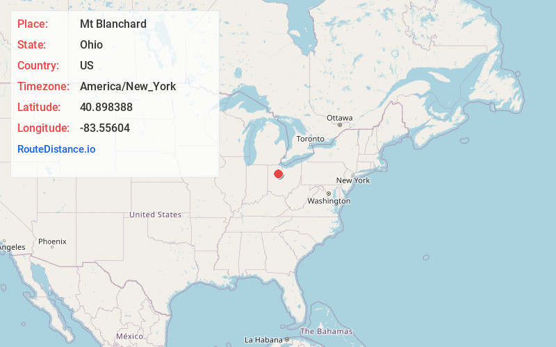
Full AddressMt Blanchard, OH 45867
-
Coordinates40.8983875, -83.5560395
-
LocationMt Blanchard , Ohio , US
-
TimezoneAmerica/New_York
-
Current Local Time2:26:01 PM America/New_YorkTuesday, July 1, 2025
-
Page Views0
About Mt Blanchard
Mount Blanchard is a village in Hancock County, Ohio, United States. The population was 471 at the 2020 census.
Nearby Places
Found 10 places within 50 miles

Arlington
4.9 mi
7.9 km
Arlington, OH 45814
Get directions

Forest
7.1 mi
11.4 km
Forest, OH 45843
Get directions

Dunkirk
9.0 mi
14.5 km
Dunkirk, OH 45836
Get directions

Carey
9.8 mi
15.8 km
Carey, OH 43316
Get directions

Findlay
10.9 mi
17.5 km
Findlay, OH 45840
Get directions
Rawson
12.6 mi
20.3 km
Rawson, OH 45881
Get directions
Arcadia
14.7 mi
23.7 km
Arcadia, OH 44804
Get directions

Upper Sandusky
15.2 mi
24.5 km
Upper Sandusky, OH 43351
Get directions

Ada
16.5 mi
26.6 km
Ada, OH 45810
Get directions

Van Buren
17.3 mi
27.8 km
Van Buren, OH 45889
Get directions
Location Links
Local Weather
Weather Information
Coming soon!
Location Map
Static map view of Mt Blanchard, Ohio
Browse Places by Distance
Places within specific distances from Mt Blanchard
Short Distances
Long Distances
Click any distance to see all places within that range from Mt Blanchard. Distances shown in miles (1 mile ≈ 1.61 kilometers).