Distance to Mt Calvary, Wisconsin

Calculating Your Route
Just a moment while we process your request...
Location Information
-
Full AddressMt Calvary, WI 53057
-
Coordinates43.826381, -88.2462122
-
LocationMt Calvary , Wisconsin , US
-
TimezoneAmerica/Chicago
-
Current Local Time2:41:45 PM America/ChicagoTuesday, June 24, 2025
-
Page Views0
About Mt Calvary
Mount Calvary is a village in Fond du Lac County, Wisconsin, United States. The population was 548 at the 2020 census, down from 762 at the 2010 census.
Nearby Places
Found 10 places within 50 miles

St Peter
4.8 mi
7.7 km
St Peter, St. Peter, WI 53049
Get directions

Fond du Lac
10.7 mi
17.2 km
Fond du Lac, WI
Get directions

Eden
10.8 mi
17.4 km
Eden, WI 53019
Get directions

Elkhart Lake
11.4 mi
18.3 km
Elkhart Lake, WI
Get directions

New Holstein
11.7 mi
18.8 km
New Holstein, WI 53061
Get directions

Kiel
12.1 mi
19.5 km
Kiel, WI 53042
Get directions

Van Dyne
13.5 mi
21.7 km
Van Dyne, WI 54979
Get directions

Plymouth
14.5 mi
23.3 km
Plymouth, WI 53073
Get directions
Chilton
14.6 mi
23.5 km
Chilton, WI 53014
Get directions
Campbellsport
15.9 mi
25.6 km
Campbellsport, WI 53010
Get directions
Location Links
Local Weather
Weather Information
Coming soon!
Location Map
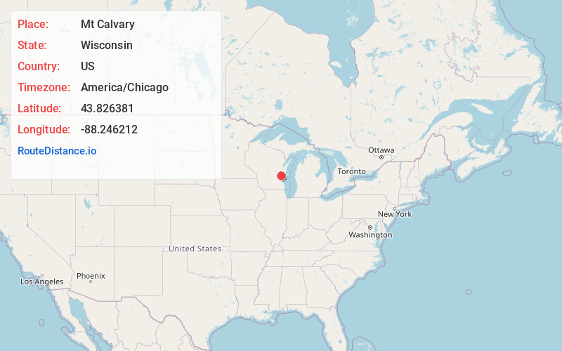
Static map view of Mt Calvary, Wisconsin
Browse Places by Distance
Places within specific distances from Mt Calvary
Short Distances
Long Distances
Click any distance to see all places within that range from Mt Calvary. Distances shown in miles (1 mile ≈ 1.61 kilometers).