Distance to Mt Carmel, Tennessee

Calculating Your Route
Just a moment while we process your request...
Location Information
-
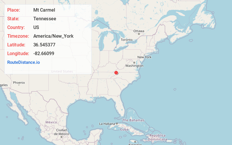
Full AddressMt Carmel, TN
-
Coordinates36.545377, -82.6609898
-
LocationMt Carmel , Tennessee , US
-
TimezoneAmerica/New_York
-
Current Local Time10:03:55 AM America/New_YorkSaturday, May 31, 2025
-
Page Views0
About Mt Carmel
Mount Carmel is a city in Hawkins County, Tennessee, United States. As of the 2010 census, the population was 5,429, an increase of 634 since the 2000 census. It is part of the Kingsport-Bristol-Bristol, TN-VA Metropolitan Statistical Area, which is a component of the "Tri-Cities" region.


Nearby Places
Found 10 places within 50 miles

Church Hill
3.3 mi
5.3 km
Church Hill, TN 37642
Get directions

Kingsport
5.5 mi
8.9 km
Kingsport, TN
Get directions

Bloomingdale
9.9 mi
15.9 km
Bloomingdale, TN 37660
Get directions

Jonesborough
20.2 mi
32.5 km
Jonesborough, TN 37659
Get directions

Johnson City
23.5 mi
37.8 km
Johnson City, TN
Get directions

Bristol
26.4 mi
42.5 km
Bristol, TN
Get directions

Bristol
27.9 mi
44.9 km
Bristol, VA
Get directions

Greeneville
28.1 mi
45.2 km
Greeneville, TN
Get directions

Elizabethton
28.5 mi
45.9 km
Elizabethton, TN
Get directions

Erwin
30.8 mi
49.6 km
Erwin, TN 37650
Get directions
Location Links
Local Weather
Weather Information
Coming soon!
Location Map
Static map view of Mt Carmel, Tennessee
Browse Places by Distance
Places within specific distances from Mt Carmel
Short Distances
Long Distances
Click any distance to see all places within that range from Mt Carmel. Distances shown in miles (1 mile ≈ 1.61 kilometers).