Distance to Mt Energy, North Carolina

Calculating Your Route
Just a moment while we process your request...
Location Information
-
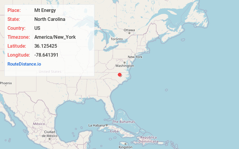
Full AddressMt Energy, Creedmoor, NC 27522
-
Coordinates36.1254246, -78.6413914
-
LocationCreedmoor , North Carolina , US
-
TimezoneAmerica/New_York
-
Current Local Time10:26:08 AM America/New_YorkFriday, June 20, 2025
-
Page Views0
Nearby Places
Found 10 places within 50 miles

Creedmoor
2.5 mi
4.0 km
Creedmoor, NC 27522
Get directions

Butner
6.5 mi
10.5 km
Butner, NC
Get directions

Stem
6.8 mi
10.9 km
Stem, NC 27581
Get directions

Stony Hill
10.1 mi
16.3 km
Stony Hill, NC 27587
Get directions

Franklinton
10.4 mi
16.7 km
Franklinton, NC 27525
Get directions

Culbreth
10.6 mi
17.1 km
Culbreth, NC 27565
Get directions
Dickerson
10.9 mi
17.5 km
Dickerson, NC 27565
Get directions

Youngsville
11.6 mi
18.7 km
Youngsville, NC 27596
Get directions

Wake Forest
12.5 mi
20.1 km
Wake Forest, NC
Get directions
Bayleaf
12.5 mi
20.1 km
Bayleaf, NC 27614
Get directions
Location Links
Local Weather
Weather Information
Coming soon!
Location Map
Static map view of Mt Energy, North Carolina
Browse Places by Distance
Places within specific distances from Mt Energy
Short Distances
Long Distances
Click any distance to see all places within that range from Mt Energy. Distances shown in miles (1 mile ≈ 1.61 kilometers).