Distance to Mt Gilead, Tennessee

Calculating Your Route
Just a moment while we process your request...
Location Information
-
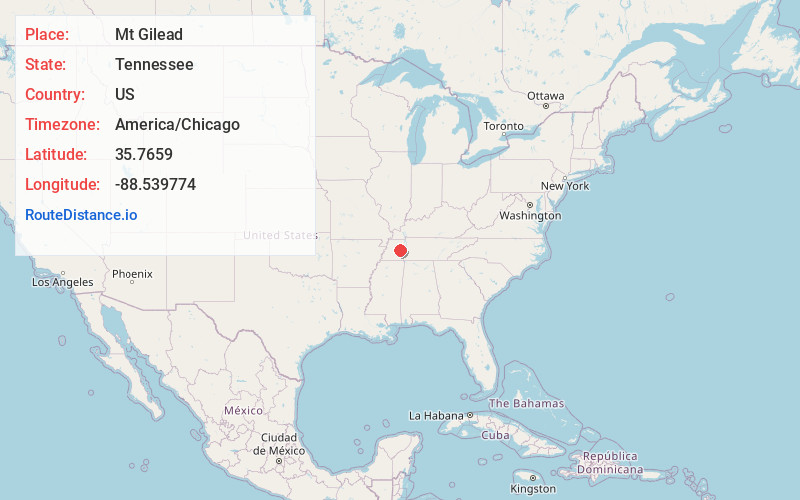
Full AddressMt Gilead, TN 38351
-
Coordinates35.7659001, -88.5397744
-
LocationTennessee , US
-
TimezoneAmerica/Chicago
-
Current Local Time4:11:46 AM America/ChicagoSaturday, May 24, 2025
-
Page Views0
About Mt Gilead
Mount Gilead, Tennessee is an unincorporated community located in Henderson County, Tennessee, United States at latitude 35.766 and longitude -88.54, at an elevation of 561 feet. It is on O'Brien Road west of Tennessee Highway 104, approximately 8 kilometres south-southeast of Cedar Grove, Tennessee.
Nearby Places
Found 10 places within 50 miles

Law
3.7 mi
6.0 km
Law, TN 38351
Get directions
Bargerton
3.8 mi
6.1 km
Bargerton, TN 38351
Get directions

Cedar Grove
4.7 mi
7.6 km
Cedar Grove, TN 38321
Get directions
Blue Goose
4.8 mi
7.7 km
Blue Goose, TN 38351
Get directions
Juno
4.8 mi
7.7 km
Juno, TN 38351
Get directions
Claybrook
6.6 mi
10.6 km
Claybrook, TN 38305
Get directions
Jumbo
7.5 mi
12.1 km
Jumbo, TN 38321
Get directions

Spring Creek
7.7 mi
12.4 km
Spring Creek, TN 38305
Get directions

Parkers Crossroads
8.3 mi
13.4 km
Parkers Crossroads, TN
Get directions
Crucifer
8.3 mi
13.4 km
Crucifer, TN 38345
Get directions
Location Links
Local Weather
Weather Information
Coming soon!
Location Map
Static map view of Mt Gilead, Tennessee
Browse Places by Distance
Places within specific distances from Mt Gilead
Short Distances
Long Distances
Click any distance to see all places within that range from Mt Gilead. Distances shown in miles (1 mile ≈ 1.61 kilometers).