Distance to Mt Healthy Heights, Ohio

Calculating Your Route
Just a moment while we process your request...
Location Information
-
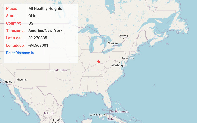
Full AddressMt Healthy Heights, OH 45231
-
Coordinates39.2703349, -84.568001
-
LocationMt Healthy Heights , Ohio , US
-
TimezoneAmerica/New_York
-
Current Local Time5:01:03 PM America/New_YorkSunday, June 29, 2025
-
Page Views0
About Mt Healthy Heights
Mount Healthy Heights is a census-designated place in Colerain Township, Hamilton County, Ohio, United States. The population was 2,918 at the 2020 census.
Nearby Places
Found 10 places within 50 miles

New Burlington
1.2 mi
1.9 km
New Burlington, OH
Get directions
Pleasant Run
1.5 mi
2.4 km
Pleasant Run, OH
Get directions

Northgate
1.8 mi
2.9 km
Northgate, OH 45251
Get directions
Northbrook
1.8 mi
2.9 km
Northbrook, OH
Get directions

Greenhills
2.4 mi
3.9 km
Greenhills, OH
Get directions
Pleasant Run Farm
2.5 mi
4.0 km
Pleasant Run Farm, OH 45240
Get directions

Mt Healthy
2.8 mi
4.5 km
Mt Healthy, OH 45231
Get directions
Dry Ridge
2.8 mi
4.5 km
Dry Ridge, OH 45252
Get directions
Groesbeck
3.4 mi
5.5 km
Groesbeck, OH
Get directions

Forest Park
3.7 mi
6.0 km
Forest Park, OH
Get directions
Location Links
Local Weather
Weather Information
Coming soon!
Location Map
Static map view of Mt Healthy Heights, Ohio
Browse Places by Distance
Places within specific distances from Mt Healthy Heights
Short Distances
Long Distances
Click any distance to see all places within that range from Mt Healthy Heights. Distances shown in miles (1 mile ≈ 1.61 kilometers).