Distance to Mt Herman, Pennsylvania

Calculating Your Route
Just a moment while we process your request...
Location Information
-
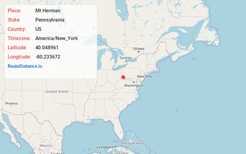
Full AddressMt Herman, Amwell Township, PA 15329
-
Coordinates40.0489613, -80.2336724
-
LocationAmwell Township , Pennsylvania , US
-
TimezoneAmerica/New_York
-
Current Local Time6:59:02 AM America/New_YorkFriday, May 30, 2025
-
Page Views0
Nearby Places
Found 10 places within 50 miles

Condit Crossing
1.2 mi
1.9 km
Condit Crossing, Amwell Township, PA 15311
Get directions
Hackney
1.5 mi
2.4 km
Hackney, Amwell Township, PA 15311
Get directions
Ringlands
1.6 mi
2.6 km
Ringlands, Morris Township, PA 15311
Get directions
Amity
1.6 mi
2.6 km
Amity, PA 15311
Get directions
Conger
1.7 mi
2.7 km
Conger, Morris Township, PA 15311
Get directions
Baker Station
1.9 mi
3.1 km
Baker Station, Amwell Township, PA 15311
Get directions
Plumbsock
2.0 mi
3.2 km
Plumbsock, Morris Township, PA 15329
Get directions
Banetown
2.1 mi
3.4 km
Banetown, Amwell Township, PA 15301
Get directions
Amwell Township
2.4 mi
3.9 km
Amwell Township, PA
Get directions
Prosperity
3.2 mi
5.1 km
Prosperity, PA 15329
Get directions
Location Links
Local Weather
Weather Information
Coming soon!
Location Map
Static map view of Mt Herman, Pennsylvania
Browse Places by Distance
Places within specific distances from Mt Herman
Short Distances
Long Distances
Click any distance to see all places within that range from Mt Herman. Distances shown in miles (1 mile ≈ 1.61 kilometers).