Distance to Mt Holly, South Carolina

Calculating Your Route
Just a moment while we process your request...
Location Information
-
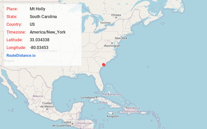
Full AddressMt Holly, SC 29445
-
Coordinates33.0343383, -80.0345301
-
LocationSouth Carolina , US
-
TimezoneAmerica/New_York
-
Current Local Time11:37:08 PM America/New_YorkThursday, June 19, 2025
-
Page Views0
About Mt Holly
Mount Holly is an unincorporated community in Berkeley County, South Carolina, just north of Goose Creek, South Carolina.
Nearby Places
Found 10 places within 50 miles

Grove Hall
2.6 mi
4.2 km
Grove Hall, Goose Creek, SC 29486
Get directions
Driggerstown
3.3 mi
5.3 km
Driggerstown, SC 29486
Get directions

Goose Creek
3.7 mi
6.0 km
Goose Creek, SC
Get directions

Carnes Crossroad
3.9 mi
6.3 km
Carnes Crossroad, SC 29486
Get directions
Kittredge
4.2 mi
6.8 km
Kittredge, SC 29461
Get directions
Deer Park
4.7 mi
7.6 km
Deer Park, North Charleston, SC 29406
Get directions
Otranto
4.8 mi
7.7 km
Otranto, North Charleston, SC 29406
Get directions

Sangaree
5.4 mi
8.7 km
Sangaree, SC
Get directions

Ladson
5.5 mi
8.9 km
Ladson, SC
Get directions
Pimlico
6.1 mi
9.8 km
Pimlico, SC 29461
Get directions
Location Links
Local Weather
Weather Information
Coming soon!
Location Map
Static map view of Mt Holly, South Carolina
Browse Places by Distance
Places within specific distances from Mt Holly
Short Distances
Long Distances
Click any distance to see all places within that range from Mt Holly. Distances shown in miles (1 mile ≈ 1.61 kilometers).