Distance to Mt Hope, Alabama

Calculating Your Route
Just a moment while we process your request...
Location Information
-
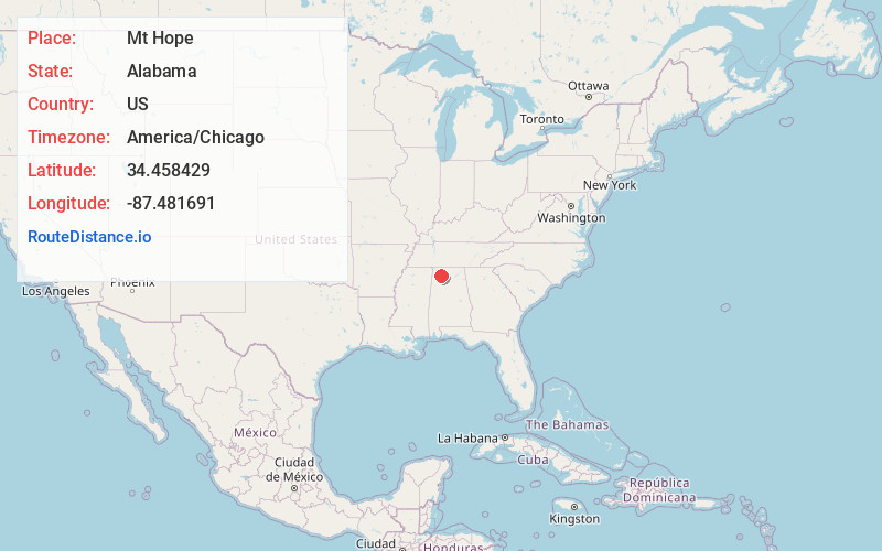
Full AddressMt Hope, AL 35651
-
Coordinates34.4584286, -87.4816909
-
LocationMt Hope , Alabama , US
-
TimezoneAmerica/Chicago
-
Current Local Time12:13:29 AM America/ChicagoWednesday, June 25, 2025
-
Page Views0
About Mt Hope
Mount Hope is an unincorporated community in Lawrence County, Alabama, United States. Its ZIP code is 35651.
Nearby Places
Found 10 places within 50 miles

Hickory Grove
2.9 mi
4.7 km
Hickory Grove, AL 35651
Get directions
Landersville
4.7 mi
7.6 km
Landersville, AL 35650
Get directions
Youngtown
5.9 mi
9.5 km
Youngtown, AL 35650
Get directions
Muck City
7.4 mi
11.9 km
Muck City, AL 35650
Get directions

Hatton
8.1 mi
13.0 km
Hatton, AL 35672
Get directions
Carroll Crossroads
8.6 mi
13.8 km
Carroll Crossroads, AL 35581
Get directions
Saints Crossroads
8.7 mi
14.0 km
Saints Crossroads, AL 35654
Get directions
Old Bethel
8.8 mi
14.2 km
Old Bethel, AL 35646
Get directions
Tharptown
9.5 mi
15.3 km
Tharptown, AL 35654
Get directions
Waco
9.9 mi
15.9 km
Waco, AL 35654
Get directions
Location Links
Local Weather
Weather Information
Coming soon!
Location Map
Static map view of Mt Hope, Alabama
Browse Places by Distance
Places within specific distances from Mt Hope
Short Distances
Long Distances
Click any distance to see all places within that range from Mt Hope. Distances shown in miles (1 mile ≈ 1.61 kilometers).