Distance to Mt Laguna, California

Calculating Your Route
Just a moment while we process your request...
Location Information
-
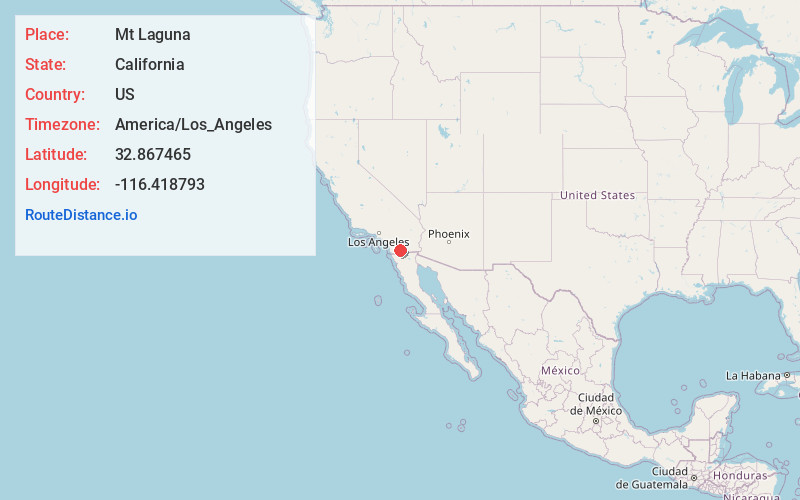
Full AddressMt Laguna, CA 91948
-
Coordinates32.8674653, -116.4187931
-
LocationMt Laguna , California , US
-
TimezoneAmerica/Los_Angeles
-
Current Local Time5:10:40 AM America/Los_AngelesThursday, July 3, 2025
-
Page Views0
About Mt Laguna
Mount Laguna is a small census-designated place in San Diego County, California. It is approximately 6,000 feet above sea level in a forest of Jeffrey pine, east of San Diego in the Laguna Mountains on the eastern edge of the Cleveland National Forest.


Nearby Places
Found 10 places within 50 miles

Pine Valley
7.2 mi
11.6 km
Pine Valley, CA 91962
Get directions

Descanso
11.3 mi
18.2 km
Descanso, CA
Get directions

Boulevard
16.4 mi
26.4 km
Boulevard, CA
Get directions

Pine Hills
17.5 mi
28.2 km
Pine Hills, CA 92036
Get directions

Julian
18.1 mi
29.1 km
Julian, CA 92036
Get directions

Campo
18.2 mi
29.3 km
Campo, CA 91906
Get directions

Alpine
20.3 mi
32.7 km
Alpine, CA
Get directions

Potrero
20.8 mi
33.5 km
Potrero, CA 91963
Get directions

Jacumba Hot Springs
21.9 mi
35.2 km
Jacumba Hot Springs, CA 91934
Get directions

Harbison Canyon
24.1 mi
38.8 km
Harbison Canyon, CA
Get directions
Location Links
Local Weather
Weather Information
Coming soon!
Location Map
Static map view of Mt Laguna, California
Browse Places by Distance
Places within specific distances from Mt Laguna
Short Distances
Long Distances
Click any distance to see all places within that range from Mt Laguna. Distances shown in miles (1 mile ≈ 1.61 kilometers).