Distance to Mt Olive, Texas

Calculating Your Route
Just a moment while we process your request...
Location Information
-
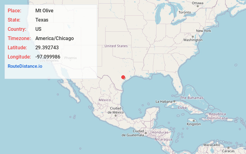
Full AddressMt Olive, TX 77984
-
Coordinates29.3927431, -97.0999855
-
LocationMt Olive , Texas , US
-
TimezoneAmerica/Chicago
-
Current Local Time1:50:37 AM America/ChicagoTuesday, July 1, 2025
-
Page Views0
Nearby Places
Found 10 places within 50 miles

Sweet Home
3.7 mi
6.0 km
Sweet Home, TX 77995
Get directions

Wied
4.1 mi
6.6 km
Wied, TX 77964
Get directions

Shiner
4.9 mi
7.9 km
Shiner, TX 77984
Get directions

Yoakum
7.9 mi
12.7 km
Yoakum, TX 77995
Get directions
Williamsburg
8.5 mi
13.7 km
Williamsburg, TX 77964
Get directions

Hallettsville
10.2 mi
16.4 km
Hallettsville, TX 77964
Get directions
Pearl City
10.2 mi
16.4 km
Pearl City, TX 77995
Get directions
Hochheim
12.8 mi
20.6 km
Hochheim, TX 77995
Get directions

Moulton
12.9 mi
20.8 km
Moulton, TX 77975
Get directions

Hope
13.6 mi
21.9 km
Hope, TX 77995
Get directions
Location Links
Local Weather
Weather Information
Coming soon!
Location Map
Static map view of Mt Olive, Texas
Browse Places by Distance
Places within specific distances from Mt Olive
Short Distances
Long Distances
Click any distance to see all places within that range from Mt Olive. Distances shown in miles (1 mile ≈ 1.61 kilometers).