Distance to Mt Palatine, Illinois

Calculating Your Route
Just a moment while we process your request...
Location Information
-
Full AddressMt Palatine, IL 61326
-
Coordinates41.1930157, -89.163916
-
LocationMt Palatine , Illinois , US
-
TimezoneAmerica/Chicago
-
Current Local Time4:12:51 PM America/ChicagoThursday, July 3, 2025
-
Page Views0
About Mt Palatine
Mount Palatine is an unincorporated community in LaSalle and Putnam counties in the U.S. state of Illinois. The community is located about 2 miles east of McNabb. The town once had shops and a small college, but declined when the Illinois Central chose a location far to the East.
Nearby Places
Found 10 places within 50 miles

McNabb
2.6 mi
4.2 km
McNabb, IL 61335
Get directions

Standard
4.5 mi
7.2 km
Standard, IL
Get directions

Hope Township
4.7 mi
7.6 km
Hope Township, IL
Get directions

Cedar Point
5.2 mi
8.4 km
Cedar Point, IL
Get directions
Tonica
5.3 mi
8.5 km
Tonica, IL 61370
Get directions
Magnolia
5.7 mi
9.2 km
Magnolia, IL 61336
Get directions
Granville
5.8 mi
9.3 km
Granville, IL 61326
Get directions
Lostant
6.4 mi
10.3 km
Lostant, IL 61334
Get directions
Mark
6.7 mi
10.8 km
Mark, IL
Get directions
Porterfield
7.5 mi
12.1 km
Porterfield, Evans Township, IL 61375
Get directions
Location Links
Local Weather
Weather Information
Coming soon!
Location Map
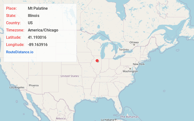
Static map view of Mt Palatine, Illinois
Browse Places by Distance
Places within specific distances from Mt Palatine
Short Distances
Long Distances
Click any distance to see all places within that range from Mt Palatine. Distances shown in miles (1 mile ≈ 1.61 kilometers).