Distance to Mt Perry, Ohio

Calculating Your Route
Just a moment while we process your request...
Location Information
-
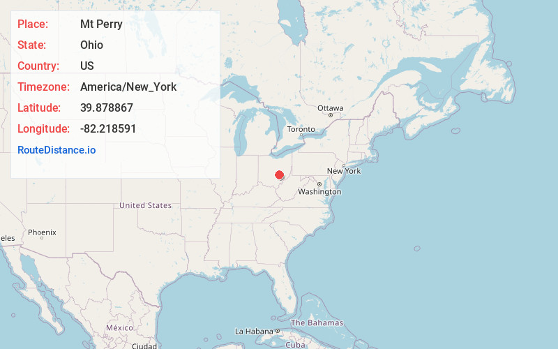
Full AddressMt Perry, OH 43760
-
Coordinates39.8788668, -82.2185905
-
LocationMt Perry , Ohio , US
-
TimezoneAmerica/New_York
-
Current Local Time3:58:08 PM America/New_YorkTuesday, June 24, 2025
-
Page Views0
About Mt Perry
Mount Perry is an unincorporated community in northern Madison Township, Perry County, Ohio, United States, northeast of Somerset. State Route 204 runs through the town. It is in the Northern Local School District, home of the Sheridan Generals.
Mount Perry was laid out in 1828.


Nearby Places
Found 10 places within 50 miles

Sego
2.3 mi
3.7 km
Sego, Madison Township, OH 43783
Get directions
Glass Rock
3.7 mi
6.0 km
Glass Rock, Hopewell Township, OH 43739
Get directions
Fultonham
4.4 mi
7.1 km
Fultonham, OH
Get directions
Gratiot
5.0 mi
8.0 km
Gratiot, OH
Get directions

Brownsville
5.1 mi
8.2 km
Brownsville, OH
Get directions
Glenford
5.3 mi
8.5 km
Glenford, OH 43739
Get directions

East Fultonham
5.5 mi
8.9 km
East Fultonham, OH
Get directions
Hopewell
5.9 mi
9.5 km
Hopewell, OH 43746
Get directions
Yost
6.4 mi
10.3 km
Yost, OH 43739
Get directions
White Cottage
6.4 mi
10.3 km
White Cottage, OH 43701
Get directions
Location Links
Local Weather
Weather Information
Coming soon!
Location Map
Static map view of Mt Perry, Ohio
Browse Places by Distance
Places within specific distances from Mt Perry
Short Distances
Long Distances
Click any distance to see all places within that range from Mt Perry. Distances shown in miles (1 mile ≈ 1.61 kilometers).