Distance to Mt Royal, Pennsylvania

Calculating Your Route
Just a moment while we process your request...
Location Information
-
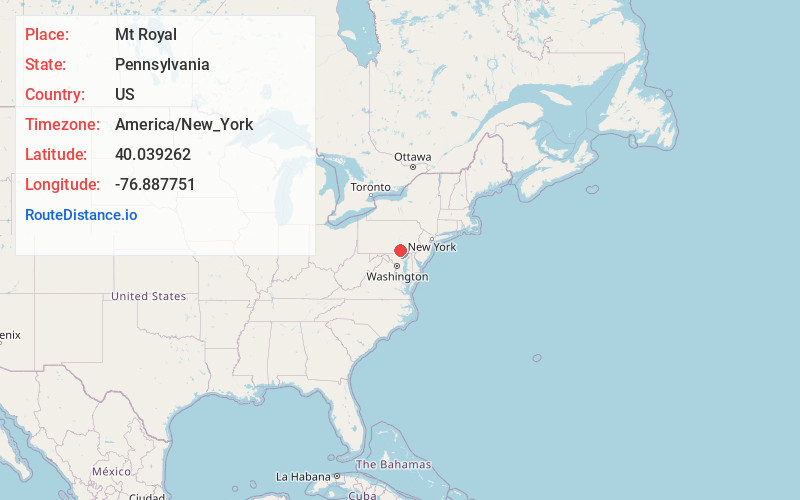
Full AddressMt Royal, PA 17315
-
Coordinates40.039262, -76.8877507
-
LocationMt Royal , Pennsylvania , US
-
TimezoneAmerica/New_York
-
Current Local Time9:47:24 PM America/New_YorkSaturday, May 24, 2025
-
Page Views0
About Mt Royal
Mount Royal is an unincorporated community in York County, Pennsylvania, United States. Mount Royal is located on Pennsylvania Route 74, approximately three miles north of Dover.
Nearby Places
Found 10 places within 50 miles

Harmony Grove
2.3 mi
3.7 km
Harmony Grove, Dover Township, PA 17315
Get directions
Detters Mill
2.7 mi
4.3 km
Detters Mill, Warrington Township, PA 17315
Get directions

Wellsville
2.7 mi
4.3 km
Wellsville, PA 17365
Get directions

Dover
3.3 mi
5.3 km
Dover, PA 17315
Get directions
Weigelstown
5.2 mi
8.4 km
Weigelstown, PA
Get directions
Kralltown
5.2 mi
8.4 km
Kralltown, Washington Township, PA 17316
Get directions
Erney
5.3 mi
8.5 km
Erney, Newberry Township, PA 17315
Get directions
Fordville
6.2 mi
10.0 km
Fordville, Paradise Township, PA 17364
Get directions
Shiloh
6.4 mi
10.3 km
Shiloh, PA
Get directions
Uno
6.7 mi
10.8 km
Uno, Carroll Township, PA 17019
Get directions
Location Links
Local Weather
Weather Information
Coming soon!
Location Map
Static map view of Mt Royal, Pennsylvania
Browse Places by Distance
Places within specific distances from Mt Royal
Short Distances
Long Distances
Click any distance to see all places within that range from Mt Royal. Distances shown in miles (1 mile ≈ 1.61 kilometers).