Distance to Mt Storm, West Virginia

Calculating Your Route
Just a moment while we process your request...
Location Information
-
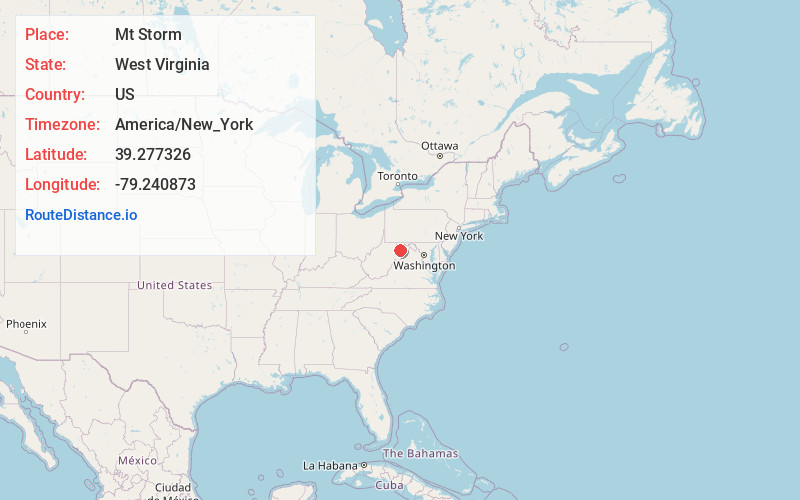
Full AddressMt Storm, WV 26739
-
Coordinates39.2773263, -79.2408725
-
LocationMt Storm , West Virginia , US
-
TimezoneAmerica/New_York
-
Current Local Time11:54:11 PM America/New_YorkThursday, June 19, 2025
-
Page Views1
About Mt Storm
Mount Storm is an unincorporated community in Grant County, West Virginia, United States. Mount Storm lies on the Northwestern Turnpike at its junction with West Virginia Route 42. The community is the site of the Union School Complex, which contains Union High School.


Nearby Places
Found 10 places within 50 miles

Wallman
3.6 mi
5.8 km
Wallman, MD 21550
Get directions
Gormania
6.2 mi
10.0 km
Gormania, WV 21550
Get directions
Kearney
6.3 mi
10.1 km
Kearney, MD 21550
Get directions
Crosstown
6.4 mi
10.3 km
Crosstown, WV 26717
Get directions

Bayard
6.6 mi
10.6 km
Bayard, WV 26707
Get directions
Shallmar
7.3 mi
11.7 km
Shallmar, MD 21538
Get directions
Blaine
8.2 mi
13.2 km
Blaine, WV 26717
Get directions
Kitzmiller
8.3 mi
13.4 km
Kitzmiller, MD 21538
Get directions

Elk Garden
8.7 mi
14.0 km
Elk Garden, WV 26717
Get directions

Greenland Gap
8.9 mi
14.3 km
Greenland Gap, West Virginia 26833
Get directions
Location Links
Local Weather
Weather Information
Coming soon!
Location Map
Static map view of Mt Storm, West Virginia
Browse Places by Distance
Places within specific distances from Mt Storm
Short Distances
Long Distances
Click any distance to see all places within that range from Mt Storm. Distances shown in miles (1 mile ≈ 1.61 kilometers).