Distance to Mt Tabor, Pennsylvania

Calculating Your Route
Just a moment while we process your request...
Location Information
-
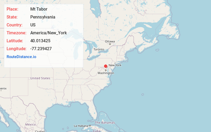
Full AddressMt Tabor, PA 17324
-
Coordinates40.0134254, -77.2394273
-
LocationMt Tabor , Pennsylvania , US
-
TimezoneAmerica/New_York
-
Current Local Time5:48:05 PM America/New_YorkWednesday, May 21, 2025
-
Page Views0
About Mt Tabor
Mount Tabor is an unincorporated community in Adams County, Pennsylvania, United States. Mount Tabor is located in Menallen Township off Pennsylvania Route 34 and is approximately 2 miles west of Idaville.
Nearby Places
Found 10 places within 50 miles

Gardners
1.8 mi
2.9 km
Gardners, PA 17324
Get directions

Idaville
1.9 mi
3.1 km
Idaville, PA
Get directions

Bendersville
2.2 mi
3.5 km
Bendersville, PA
Get directions
Aspers
2.6 mi
4.2 km
Aspers, PA
Get directions
Goodyear
2.9 mi
4.7 km
Goodyear, PA 17324
Get directions
Center Mills
4.3 mi
6.9 km
Center Mills, PA 17304
Get directions
Cooke Township
4.4 mi
7.1 km
Cooke Township, PA
Get directions
Guernsey
4.6 mi
7.4 km
Guernsey, PA 17307
Get directions
Hunters Run
4.7 mi
7.6 km
Hunters Run, PA 17324
Get directions

Biglerville
5.8 mi
9.3 km
Biglerville, PA 17307
Get directions
Location Links
Local Weather
Weather Information
Coming soon!
Location Map
Static map view of Mt Tabor, Pennsylvania
Browse Places by Distance
Places within specific distances from Mt Tabor
Short Distances
Long Distances
Click any distance to see all places within that range from Mt Tabor. Distances shown in miles (1 mile ≈ 1.61 kilometers).