Distance to Mt Vernon, Indiana

Calculating Your Route
Just a moment while we process your request...
Location Information
-
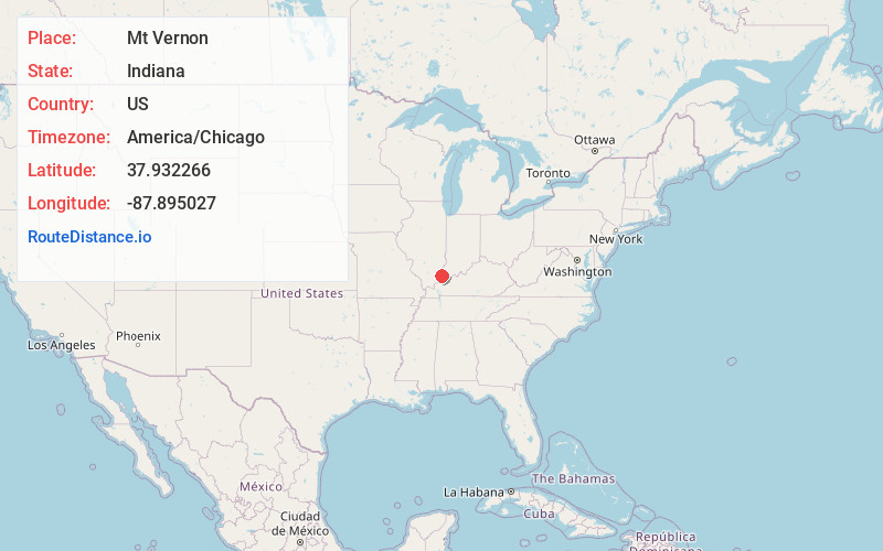
Full AddressMt Vernon, IN 47620
-
Coordinates37.9322662, -87.8950267
-
LocationMt Vernon , Indiana , US
-
TimezoneAmerica/Chicago
-
Current Local Time6:33:54 PM America/ChicagoSaturday, June 21, 2025
-
Website
-
Page Views0
About Mt Vernon
Mount Vernon is a city in and the county seat of Posey County, Indiana, United States. Located in the state's far southwestern corner, within 15 miles of both the southernmost or westernmost points, it is the westernmost city in the state.


Nearby Places
Found 8 places within 50 miles

Evansville
17.9 mi
28.8 km
Evansville, IN
Get directions

Henderson
17.9 mi
28.8 km
Henderson, KY 42420
Get directions

Mt Carmel
33.9 mi
54.6 km
Mt Carmel, IL 62863
Get directions

Princeton
34.2 mi
55.0 km
Princeton, IN 47670
Get directions

Boonville
34.8 mi
56.0 km
Boonville, IN 47601
Get directions

Harrisburg
37.7 mi
60.7 km
Harrisburg, IL 62946
Get directions

Owensboro
44.2 mi
71.1 km
Owensboro, KY
Get directions

Madisonville
47.0 mi
75.6 km
Madisonville, KY 42431
Get directions
Location Links
Local Weather
Weather Information
Coming soon!
Location Map
Static map view of Mt Vernon, Indiana
Browse Places by Distance
Places within specific distances from Mt Vernon
Short Distances
Long Distances
Click any distance to see all places within that range from Mt Vernon. Distances shown in miles (1 mile ≈ 1.61 kilometers).