Distance to Mt Zion, Missouri

Calculating Your Route
Just a moment while we process your request...
Location Information
-
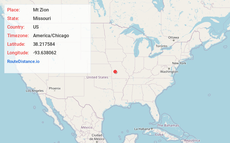
Full AddressMt Zion, MO 64740
-
Coordinates38.2175843, -93.6380623
-
LocationMt Zion , Missouri , US
-
TimezoneAmerica/Chicago
-
Current Local Time11:11:00 AM America/ChicagoMonday, June 23, 2025
-
Page Views0
Nearby Places
Found 10 places within 50 miles

Ninnescah Park
2.4 mi
3.9 km
Ninnescah Park, Butler Township, MO 64763
Get directions
Gaines
5.0 mi
8.0 km
Gaines, Bethlehem Township, MO 64735
Get directions

Brownington
5.0 mi
8.0 km
Brownington, MO 64740
Get directions
Finey
5.1 mi
8.2 km
Finey, Osage Township, MO 64740
Get directions
Chloe
5.7 mi
9.2 km
Chloe, Butler Township, MO 64763
Get directions
Lowry City
7.2 mi
11.6 km
Lowry City, MO 64763
Get directions
Coal
7.6 mi
12.2 km
Coal, MO 64735
Get directions

Deepwater
7.9 mi
12.7 km
Deepwater, MO 64740
Get directions

Tightwad
8.1 mi
13.0 km
Tightwad, MO 64735
Get directions

Iconium
9.2 mi
14.8 km
Iconium, Jackson Township, MO 64776
Get directions
Location Links
Local Weather
Weather Information
Coming soon!
Location Map
Static map view of Mt Zion, Missouri
Browse Places by Distance
Places within specific distances from Mt Zion
Short Distances
Long Distances
Click any distance to see all places within that range from Mt Zion. Distances shown in miles (1 mile ≈ 1.61 kilometers).