Distance to Mud Butte, South Dakota

Calculating Your Route
Just a moment while we process your request...
Location Information
-
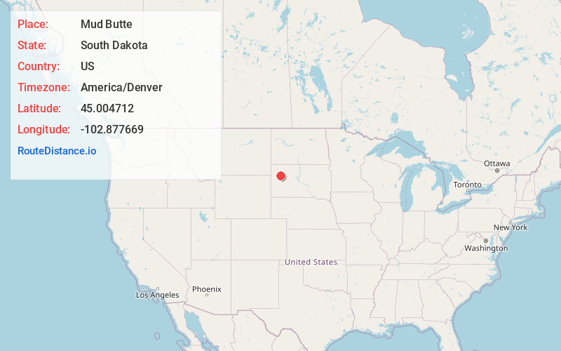
Full AddressMud Butte, SD 57758
-
Coordinates45.0047115, -102.8776692
-
LocationMud Butte , South Dakota , US
-
TimezoneAmerica/Denver
-
Current Local Time5:59:35 AM America/DenverFriday, June 20, 2025
-
Page Views0
About Mud Butte
Mud Butte is a former village, now a diffuse unincorporated community, located in northern Meade County, South Dakota, United States. It roughly lies along U.S. Route 212, 55 miles northeast of the city of Sturgis. Its elevation is 2,871 feet.
Nearby Places
Found 10 places within 50 miles

Sulphur
9.0 mi
14.5 km
Sulphur, SD 57787
Get directions
Imogene
12.4 mi
20.0 km
Imogene, SD 57626
Get directions
Zeona
13.1 mi
21.1 km
Zeona, SD 57758
Get directions
Bixby
18.3 mi
29.5 km
Bixby, SD 57626
Get directions

Stoneville
21.7 mi
34.9 km
Stoneville, SD 57787
Get directions
Date
26.8 mi
43.1 km
Date, SD 57649
Get directions

Union Center
32.3 mi
52.0 km
Union Center, SD 57737
Get directions
Newell
33.3 mi
53.6 km
Newell, SD 57760
Get directions
Enning
33.4 mi
53.8 km
Enning, SD
Get directions
Strool
34.4 mi
55.4 km
Strool, SD 57649
Get directions
Location Links
Local Weather
Weather Information
Coming soon!
Location Map
Static map view of Mud Butte, South Dakota
Browse Places by Distance
Places within specific distances from Mud Butte
Short Distances
Long Distances
Click any distance to see all places within that range from Mud Butte. Distances shown in miles (1 mile ≈ 1.61 kilometers).