Distance to Muddy Gap, Wyoming

Calculating Your Route
Just a moment while we process your request...
Location Information
-
Full AddressMuddy Gap, WY 82301
-
Coordinates42.3516238, -107.4572885
-
LocationMuddy Gap , Wyoming , US
-
TimezoneAmerica/Denver
-
Current Local Time12:40:38 AM America/DenverSaturday, June 21, 2025
-
Page Views0
About Muddy Gap
Muddy Gap is an unincorporated community in Carbon County, Wyoming, United States. Muddy Gap and nearby Three Forks are sometimes referred to as one and the same place.
Muddy Gap is also the name of a natural gap nearby. Muddy Creek flows through the gap.


Nearby Places
Found 8 places within 50 miles

Bairoil
9.1 mi
14.6 km
Bairoil, WY 82322
Get directions
Lamont
9.4 mi
15.1 km
Lamont, WY
Get directions

Jeffrey City
21.3 mi
34.3 km
Jeffrey City, WY 82310
Get directions

Seminoe Dam
31.2 mi
50.2 km
Seminoe Dam, Sinclair, WY 82334
Get directions

Leo
34.1 mi
54.9 km
Leo, WY 82327
Get directions

Alcova
40.2 mi
64.7 km
Alcova, WY 82620
Get directions

Rawlins
40.3 mi
64.9 km
Rawlins, WY 82301
Get directions

Sinclair
43.6 mi
70.2 km
Sinclair, WY 82334
Get directions
Location Links
Local Weather
Weather Information
Coming soon!
Location Map
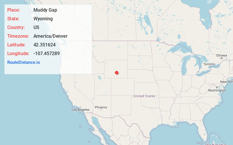
Static map view of Muddy Gap, Wyoming
Browse Places by Distance
Places within specific distances from Muddy Gap
Short Distances
Long Distances
Click any distance to see all places within that range from Muddy Gap. Distances shown in miles (1 mile ≈ 1.61 kilometers).