Distance to Muldoon, Texas

Calculating Your Route
Just a moment while we process your request...
Location Information
-
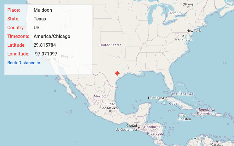
Full AddressMuldoon, TX 78949
-
Coordinates29.8157838, -97.0710965
-
LocationMuldoon , Texas , US
-
TimezoneAmerica/Chicago
-
Current Local Time6:51:06 PM America/ChicagoThursday, June 19, 2025
-
Page Views0
About Muldoon
Muldoon is a town in southwestern Fayette County, Texas, United States, located 10 miles north of Flatonia and 16 miles southwest of La Grange. It is at the junction of FM 154 and FM 2237. Its population, according to the 2010 census, is 114.


Nearby Places
Found 10 places within 50 miles

Floy
2.8 mi
4.5 km
Floy, TX 78941
Get directions
Lena
5.3 mi
8.5 km
Lena, TX 78949
Get directions
Stellar
6.6 mi
10.6 km
Stellar, TX 78941
Get directions
Freyburg
7.4 mi
11.9 km
Freyburg, TX 78956
Get directions
Cistern
8.8 mi
14.2 km
Cistern, TX 78941
Get directions

Flatonia
9.1 mi
14.6 km
Flatonia, TX 78941
Get directions
Plum
10.3 mi
16.6 km
Plum, TX
Get directions
Kirtley
10.6 mi
17.1 km
Kirtley, TX 78957
Get directions
Wendt
12.0 mi
19.3 km
Wendt, TX 78945
Get directions
Togo
12.8 mi
20.6 km
Togo, TX 78957
Get directions
Location Links
Local Weather
Weather Information
Coming soon!
Location Map
Static map view of Muldoon, Texas
Browse Places by Distance
Places within specific distances from Muldoon
Short Distances
Long Distances
Click any distance to see all places within that range from Muldoon. Distances shown in miles (1 mile ≈ 1.61 kilometers).