Distance to Mulga, Alabama

Calculating Your Route
Just a moment while we process your request...
Location Information
-
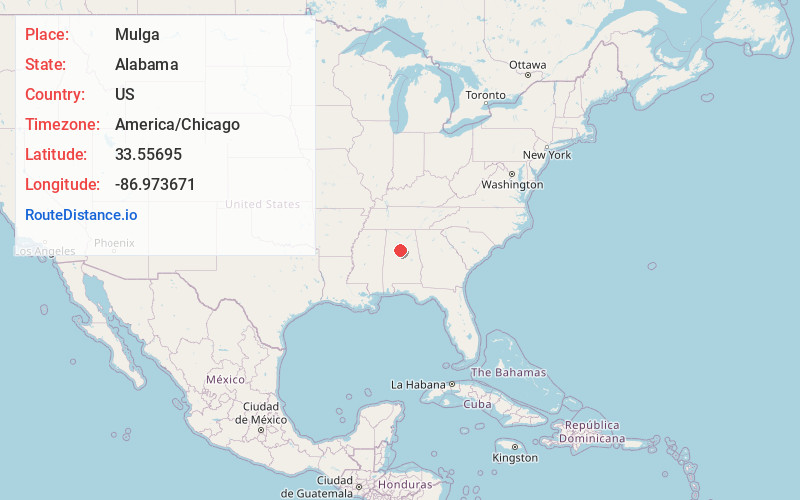
Full AddressMulga, AL
-
Coordinates33.5569498, -86.973671
-
LocationMulga , Alabama , US
-
TimezoneAmerica/Chicago
-
Current Local Time7:39:02 PM America/ChicagoTuesday, June 17, 2025
-
Page Views0
About Mulga
Mulga is a town in western Jefferson County, Alabama, United States. It is north from the Birmingham suburb of Pleasant Grove. It includes the community of Bayview.


Nearby Places
Found 10 places within 50 miles

Edgewater
2.3 mi
3.7 km
Edgewater, AL 35224
Get directions
Minor
2.3 mi
3.7 km
Minor, AL 35224
Get directions

Adamsville
3.2 mi
5.1 km
Adamsville, AL
Get directions
Sylvan Springs
3.7 mi
6.0 km
Sylvan Springs, AL
Get directions

Graysville
4.4 mi
7.1 km
Graysville, AL
Get directions

Forestdale
4.5 mi
7.2 km
Forestdale, AL
Get directions

Pleasant Grove
4.6 mi
7.4 km
Pleasant Grove, AL
Get directions

Fairfield
6.1 mi
9.8 km
Fairfield, AL
Get directions


Leaflet © OpenStreetMap contributors
Location Links
Local Weather
Weather Information
Coming soon!
Location Map
Static map view of Mulga, Alabama
Browse Places by Distance
Places within specific distances from Mulga
Short Distances
Long Distances
Click any distance to see all places within that range from Mulga. Distances shown in miles (1 mile ≈ 1.61 kilometers).