Distance to Mumford, New York

Calculating Your Route
Just a moment while we process your request...
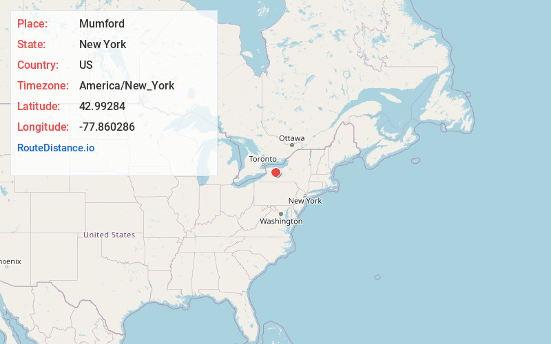
Location Information
-
Full AddressMumford, NY 14511
-
Coordinates42.9928396, -77.8602856
-
LocationMumford , New York , US
-
TimezoneAmerica/New_York
-
Current Local Time2:49:01 AM America/New_YorkThursday, May 29, 2025
-
Page Views0
About Mumford
The hamlet of Mumford lies in the western part of the town of Wheatland, Monroe County, New York, United States, south of Oatka Creek on NY 36 and south of the terminus of NY 383.
Nearby Places
Found 10 places within 50 miles

Caledonia
1.4 mi
2.3 km
Caledonia, NY 14423
Get directions

Wheatland
2.6 mi
4.2 km
Wheatland, NY
Get directions

Fraser
5.4 mi
8.7 km
Fraser, York, NY 14423
Get directions
South Chili
5.8 mi
9.3 km
South Chili, Chili, NY 14546
Get directions

Scottsville
6.2 mi
10.0 km
Scottsville, NY 14546
Get directions
Stone Church
6.5 mi
10.5 km
Stone Church, Bergen, NY 14416
Get directions
Fowlerville
6.9 mi
11.1 km
Fowlerville, NY 14423
Get directions

Churchville
7.8 mi
12.6 km
Churchville, NY 14428
Get directions
Linwood
8.1 mi
13.0 km
Linwood, NY
Get directions

West Henrietta
10.4 mi
16.7 km
West Henrietta, NY
Get directions
Location Links
Local Weather
Weather Information
Coming soon!
Location Map
Static map view of Mumford, New York
Browse Places by Distance
Places within specific distances from Mumford
Short Distances
Long Distances
Click any distance to see all places within that range from Mumford. Distances shown in miles (1 mile ≈ 1.61 kilometers).