Distance to Muncy Creek, Pennsylvania

Calculating Your Route
Just a moment while we process your request...
Location Information
-
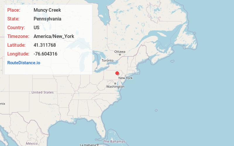
Full AddressMuncy Creek, Pennsylvania
-
Coordinates41.3117678, -76.6043156
-
LocationPennsylvania , US
-
TimezoneAmerica/New_York
-
Current Local Time6:52:42 PM America/New_YorkWednesday, June 25, 2025
-
Page Views0

Nearby Places
Found 10 places within 50 miles

Loyalsock State Forest
15.0 mi
24.1 km
Loyalsock State Forest, Fox Township, PA 18616
Get directions

Montoursville
16.9 mi
27.2 km
Montoursville, PA
Get directions

Kenmar
18.9 mi
30.4 km
Kenmar, PA 17701
Get directions
White Deer Creek
21.0 mi
33.8 km
White Deer Creek, Watsontown, PA 17856
Get directions

Williamsport
21.2 mi
34.1 km
Williamsport, PA 17701
Get directions

South Williamsport
21.2 mi
34.1 km
South Williamsport, PA 17702
Get directions

Bloomsburg
22.7 mi
36.5 km
Bloomsburg, PA 17815
Get directions

Danville
24.1 mi
38.8 km
Danville, PA 17821
Get directions

Milton
24.3 mi
39.1 km
Milton, PA
Get directions
Old Lycoming Township
25.5 mi
41.0 km
Old Lycoming Township, PA 17701
Get directions
Location Links
Local Weather
Weather Information
Coming soon!
Location Map
Static map view of Muncy Creek, Pennsylvania
Browse Places by Distance
Places within specific distances from Muncy Creek
Short Distances
Long Distances
Click any distance to see all places within that range from Muncy Creek. Distances shown in miles (1 mile ≈ 1.61 kilometers).