Distance to Munday, West Virginia

Calculating Your Route
Just a moment while we process your request...
Location Information
-
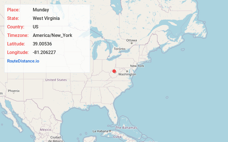
Full AddressMunday, WV 26138
-
Coordinates39.0053596, -81.2062268
-
LocationMunday , West Virginia , US
-
TimezoneAmerica/New_York
-
Current Local Time12:39:27 PM America/New_YorkTuesday, June 17, 2025
-
Page Views0
About Munday
Munday is an unincorporated community in eastern Wirt County, West Virginia, United States. It lies along local roads southeast of the town of Elizabeth, the county seat of Wirt County. Its elevation is 717 feet. Munday had a post office, which closed on October 26, 2002.


Nearby Places
Found 10 places within 50 miles

Brohard
2.7 mi
4.3 km
Brohard, WV
Get directions
Ayers
6.1 mi
9.8 km
Ayers, WV 26136
Get directions
Joker
7.1 mi
11.4 km
Joker, WV 26136
Get directions
Grantsville
8.2 mi
13.2 km
Grantsville, WV 26147
Get directions
Cremo
8.3 mi
13.4 km
Cremo, WV 26141
Get directions
Pleasant Hill
8.6 mi
13.8 km
Pleasant Hill, WV 26147
Get directions
Two Run
10.1 mi
16.3 km
Two Run, WV 26160
Get directions

Elizabeth
10.9 mi
17.5 km
Elizabeth, WV 26143
Get directions
Henrietta
11.0 mi
17.7 km
Henrietta, WV 26147
Get directions
Freeport
11.8 mi
19.0 km
Freeport, WV 26180
Get directions
Location Links
Local Weather
Weather Information
Coming soon!
Location Map
Static map view of Munday, West Virginia
Browse Places by Distance
Places within specific distances from Munday
Short Distances
Long Distances
Click any distance to see all places within that range from Munday. Distances shown in miles (1 mile ≈ 1.61 kilometers).