Distance to Munk, Kentucky

Calculating Your Route
Just a moment while we process your request...
Location Information
-
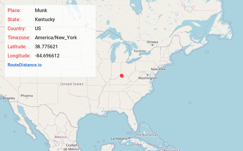
Full AddressMunk, KY 41092
-
Coordinates38.7756207, -84.6966123
-
LocationKentucky , US
-
TimezoneAmerica/New_York
-
Current Local Time1:07:08 AM America/New_YorkSunday, June 22, 2025
-
Page Views0
About Munk
Munk is an unincorporated community located in Gallatin County, Kentucky, United States.
Nearby Places
Found 10 places within 50 miles

Mt Zion
3.1 mi
5.0 km
Mt Zion, KY 41035
Get directions

Verona
3.5 mi
5.6 km
Verona, KY
Get directions
Elliston
3.9 mi
6.3 km
Elliston, KY 41035
Get directions

Crittenden
5.1 mi
8.2 km
Crittenden, KY
Get directions
Napoleon
5.1 mi
8.2 km
Napoleon, KY 41095
Get directions
Sherman
6.2 mi
10.0 km
Sherman, KY 41035
Get directions
Bracht
6.5 mi
10.5 km
Bracht, KY 41030
Get directions
Eagle Hill
7.0 mi
11.3 km
Eagle Hill, KY 41046
Get directions
Flingsville
7.7 mi
12.4 km
Flingsville, KY 41030
Get directions

Glencoe
8.0 mi
12.9 km
Glencoe, KY
Get directions
Location Links
Local Weather
Weather Information
Coming soon!
Location Map
Static map view of Munk, Kentucky
Browse Places by Distance
Places within specific distances from Munk
Short Distances
Long Distances
Click any distance to see all places within that range from Munk. Distances shown in miles (1 mile ≈ 1.61 kilometers).