Distance to Murfreesboro, Arkansas

Calculating Your Route
Just a moment while we process your request...
Location Information
-
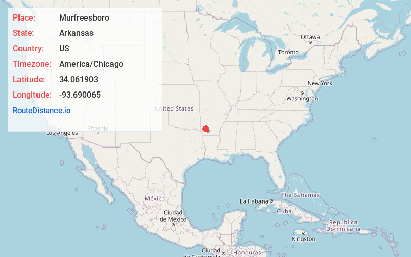
Full AddressMurfreesboro, AR 71958
-
Coordinates34.0619026, -93.6900654
-
LocationMurfreesboro , Arkansas , US
-
TimezoneAmerica/Chicago
-
Current Local Time2:07:34 PM America/ChicagoWednesday, June 18, 2025
-
Website
-
Page Views0
About Murfreesboro
Murfreesboro is a city in and the county seat of Pike County, Arkansas, United States. Its population was 1,641 at the 2010 census. The Crater of Diamonds State Park is located approximately 1 mile southeast of the city.


Nearby Places
Found 10 places within 50 miles

Nashville
11.9 mi
19.2 km
Nashville, AR 71852
Get directions

Glenwood
20.0 mi
32.2 km
Glenwood, AR
Get directions

Prescott
25.2 mi
40.6 km
Prescott, AR 71857
Get directions

Hope
27.7 mi
44.6 km
Hope, AR 71801
Get directions

Gurdon
32.3 mi
52.0 km
Gurdon, AR 71743
Get directions

Arkadelphia
36.7 mi
59.1 km
Arkadelphia, AR 71923
Get directions

Ashdown
36.9 mi
59.4 km
Ashdown, AR 71822
Get directions

Rockwell
42.2 mi
67.9 km
Rockwell, AR 71913
Get directions

Lake Hamilton
42.2 mi
67.9 km
Lake Hamilton, AR 71913
Get directions

Piney
44.3 mi
71.3 km
Piney, AR
Get directions
Location Links
Local Weather
Weather Information
Coming soon!
Location Map
Static map view of Murfreesboro, Arkansas
Browse Places by Distance
Places within specific distances from Murfreesboro
Short Distances
Long Distances
Click any distance to see all places within that range from Murfreesboro. Distances shown in miles (1 mile ≈ 1.61 kilometers).