Distance to Murphy City, Minnesota

Calculating Your Route
Just a moment while we process your request...
Location Information
-
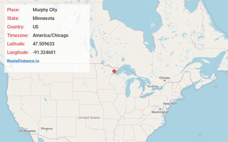
Full AddressMurphy City, MN 55603
-
Coordinates47.5096329, -91.3246013
-
LocationMurphy City , Minnesota , US
-
TimezoneAmerica/Chicago
-
Current Local Time10:50:18 AM America/ChicagoSunday, June 1, 2025
-
Page Views0
About Murphy City
Murphy City is an unincorporated community in Stony River Township, Lake County, Minnesota, United States; located within the Finland State Forest.
The community is located 19 miles north of Silver Bay at the intersection of Minnesota State Highway 1 and Hart Street.
Nearby Places
Found 10 places within 50 miles

Finland
7.6 mi
12.2 km
Finland, MN 55603
Get directions

Lax Lake
11.5 mi
18.5 km
Lax Lake, MN 55614
Get directions

Illgen City
12.9 mi
20.8 km
Illgen City, MN 55614
Get directions

Silver Bay
15.2 mi
24.5 km
Silver Bay, MN 55614
Get directions

Beaver Bay
17.4 mi
28.0 km
Beaver Bay, MN
Get directions
McNair
20.9 mi
33.6 km
McNair, MN 55616
Get directions
Lauren
28.4 mi
45.7 km
Lauren, MN 55616
Get directions
Rollins
30.0 mi
48.3 km
Rollins, MN 55602
Get directions
Alger
30.4 mi
48.9 km
Alger, MN 55616
Get directions

Lutsen
31.7 mi
51.0 km
Lutsen, MN
Get directions
Location Links
Local Weather
Weather Information
Coming soon!
Location Map
Static map view of Murphy City, Minnesota
Browse Places by Distance
Places within specific distances from Murphy City
Short Distances
Long Distances
Click any distance to see all places within that range from Murphy City. Distances shown in miles (1 mile ≈ 1.61 kilometers).