Distance to Murrays Crossroads, Georgia

Calculating Your Route
Just a moment while we process your request...
Location Information
-
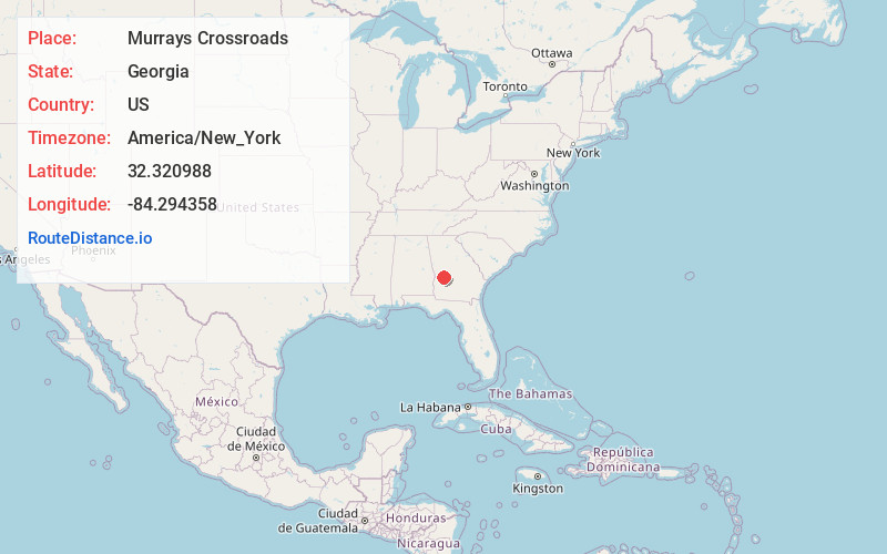
Full AddressMurrays Crossroads, GA 31806
-
Coordinates32.3209882, -84.2943582
-
LocationGeorgia , US
-
TimezoneAmerica/New_York
-
Current Local Time3:05:14 PM America/New_YorkThursday, June 5, 2025
-
Page Views0
About Murrays Crossroads
Murrays Crossroads was an unincorporated community in Schley County, Georgia, United States. It was located at the intersection of U.S. Route 19 with State Route 240, to the north of the city of Ellaville, the county seat of Schley County. The elevation of the location is 440 feet.
Nearby Places
Found 10 places within 50 miles

Ellaville
5.8 mi
9.3 km
Ellaville, GA 31806
Get directions

Ideal
7.1 mi
11.4 km
Ideal, GA
Get directions
Fountainville
8.4 mi
13.5 km
Fountainville, GA 31068
Get directions
Tazewell
9.5 mi
15.3 km
Tazewell, GA 31803
Get directions
La Crosse
9.8 mi
15.8 km
La Crosse, GA 31806
Get directions
Bartlett
10.5 mi
16.9 km
Bartlett, GA 31068
Get directions
Charing
10.5 mi
16.9 km
Charing, GA 31058
Get directions

Andersonville
12.5 mi
20.1 km
Andersonville, GA 31711
Get directions

Buena Vista
13.0 mi
20.9 km
Buena Vista, GA 31803
Get directions

Oglethorpe
13.8 mi
22.2 km
Oglethorpe, GA 31068
Get directions
Location Links
Local Weather
Weather Information
Coming soon!
Location Map
Static map view of Murrays Crossroads, Georgia
Browse Places by Distance
Places within specific distances from Murrays Crossroads
Short Distances
Long Distances
Click any distance to see all places within that range from Murrays Crossroads. Distances shown in miles (1 mile ≈ 1.61 kilometers).