Distance to Naff, Virginia

Calculating Your Route
Just a moment while we process your request...
Location Information
-
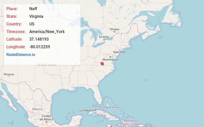
Full AddressNaff, VA 24065
-
Coordinates37.1481932, -80.0122594
-
LocationVirginia , US
-
TimezoneAmerica/New_York
-
Current Local Time5:09:07 AM America/New_YorkSaturday, June 21, 2025
-
Page Views0
Nearby Places
Found 10 places within 50 miles

Boones Mill
3.8 mi
6.1 km
Boones Mill, VA 24065
Get directions

Cave Spring
5.5 mi
8.9 km
Cave Spring, VA 24018
Get directions

Bent Mountain
5.9 mi
9.5 km
Bent Mountain, VA 24059
Get directions

Taylor
6.8 mi
10.9 km
Taylor, VA 24065
Get directions
Mt Pleasant
8.0 mi
12.9 km
Mt Pleasant, VA 24014
Get directions

Roanoke
9.3 mi
15.0 km
Roanoke, VA
Get directions
Piedmont Mill
9.5 mi
15.3 km
Piedmont Mill, VA 24184
Get directions
Edgewood
9.9 mi
15.9 km
Edgewood, Roanoke, VA 24017
Get directions

Salem
10.3 mi
16.6 km
Salem, VA 24153
Get directions
Glenvar
11.0 mi
17.7 km
Glenvar, VA 24153
Get directions
Location Links
Local Weather
Weather Information
Coming soon!
Location Map
Static map view of Naff, Virginia
Browse Places by Distance
Places within specific distances from Naff
Short Distances
Long Distances
Click any distance to see all places within that range from Naff. Distances shown in miles (1 mile ≈ 1.61 kilometers).