Distance to and from Nags Head, North Carolina
Nags Head, NC 27959
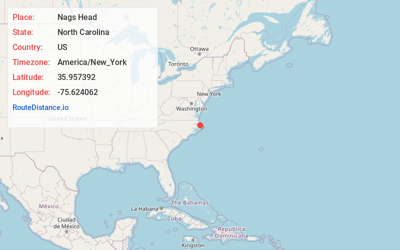
Nags Head
North Carolina
US
America/New_York
Location Information
-
Full AddressNags Head, NC 27959
-
Coordinates35.9573922, -75.6240619
-
LocationNags Head , North Carolina , US
-
TimezoneAmerica/New_York
-
Current Local Time11:12:43 PM America/New_YorkFriday, May 2, 2025
-
Website
-
Page Views0
Directions to Nearest Cities
About Nags Head
Nags Head is a beach town on North Carolina's Outer Banks. It’s known for the towering sand dunes in Jockey's Ridge State Park. Displays on local flora and fauna dot the park's boardwalk. Paths through Nags Head Woods Preserve include Roanoke Trail, leading through salt marsh and forest to a quiet beach. South, the top of 1870s Bodie Island Lighthouse offers sweeping views of Cape Hatteras National Seashore.


Nearby Places


Location Links
Local Weather
Weather Information
Coming soon!
Location Map
Static map view of Nags Head, North Carolina
Browse Places by Distance
Places within specific distances from Nags Head
Short Distances
Long Distances
Click any distance to see all places within that range from Nags Head. Distances shown in miles (1 mile ≈ 1.61 kilometers).