Distance to Nahant, South Dakota

Calculating Your Route
Just a moment while we process your request...
Location Information
-
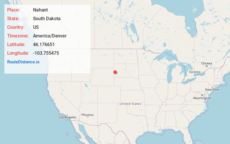
Full AddressNahant, SD 57754
-
Coordinates44.1766505, -103.7554753
-
LocationNahant , South Dakota , US
-
TimezoneAmerica/Denver
-
Current Local Time1:31:13 PM America/DenverTuesday, June 24, 2025
-
Page Views0
About Nahant
Nahant or West Nahant is a ghost town in Lawrence County, South Dakota, United States. It flourished as a logging and, to a lesser extent, mining town in the late 19th and early 20th centuries.
Nearby Places
Found 10 places within 50 miles

Dumont
4.8 mi
7.7 km
Dumont, SD 57754
Get directions
Roubaix
8.2 mi
13.2 km
Roubaix, SD 57759
Get directions

Merritt
9.6 mi
15.4 km
Merritt, South Lawrence, SD 57759
Get directions

Cheyenne Crossing
10.0 mi
16.1 km
Cheyenne Crossing, SD 57754
Get directions
Terry
11.3 mi
18.2 km
Terry, SD 57754
Get directions

Silver City
11.4 mi
18.3 km
Silver City, SD 57702
Get directions
Deerfield
11.7 mi
18.8 km
Deerfield, West Pennington, SD 57745
Get directions

Lead
12.1 mi
19.5 km
Lead, SD
Get directions
Trojan
12.1 mi
19.5 km
Trojan, SD 57754
Get directions

Nemo
12.5 mi
20.1 km
Nemo, SD 57759
Get directions
Location Links
Local Weather
Weather Information
Coming soon!
Location Map
Static map view of Nahant, South Dakota
Browse Places by Distance
Places within specific distances from Nahant
Short Distances
Long Distances
Click any distance to see all places within that range from Nahant. Distances shown in miles (1 mile ≈ 1.61 kilometers).