Distance to and from Nahunta, North Carolina
Nahunta, NC 27863
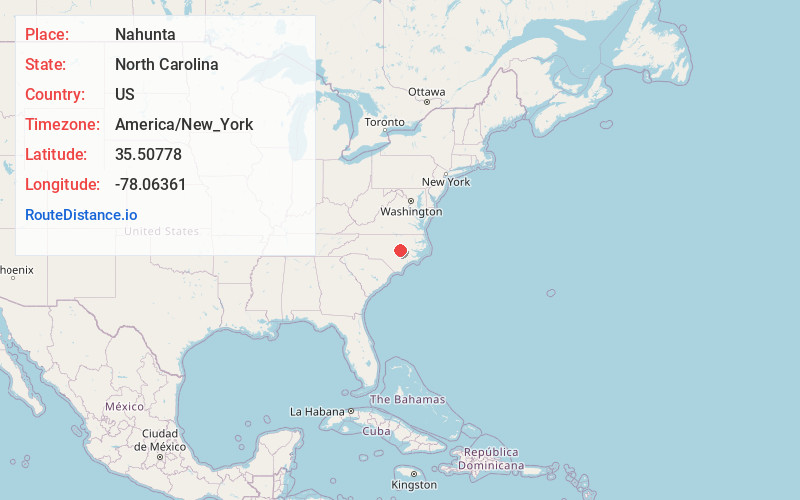
Nahunta
North Carolina
US
America/New_York
Location Information
-
Full AddressNahunta, NC 27863
-
Coordinates35.5077799, -78.06361
-
LocationNahunta , North Carolina , US
-
TimezoneAmerica/New_York
-
Current Local Time4:22:36 PM America/New_YorkSaturday, May 3, 2025
-
Page Views0
Directions to Nearest Cities
About Nahunta
Nahunta is an unincorporated community in Wayne County, North Carolina, United States, on North Carolina Highway 581.
Nearby Places
Found 10 places within 50 miles

Pike Crossroads
1.2 mi
1.9 km
Pike Crossroads, NC 27863
Get directions
Pinkney
1.2 mi
1.9 km
Pinkney, NC 27830
Get directions
Hollands Crossroads
1.8 mi
2.9 km
Hollands Crossroads, NC 27863
Get directions
Pikeville
4.7 mi
7.6 km
Pikeville, NC 27863
Get directions

Fremont
5.6 mi
9.0 km
Fremont, NC 27830
Get directions

Princeton
6.2 mi
10.0 km
Princeton, NC 27569
Get directions

Kenly
7.0 mi
11.3 km
Kenly, NC 27542
Get directions

Micro
8.8 mi
14.2 km
Micro, NC
Get directions

Goldsboro
9.4 mi
15.1 km
Goldsboro, NC
Get directions
Langston
9.5 mi
15.3 km
Langston, NC 27534
Get directions
Pike Crossroads
1.2 mi
1.9 km
Pike Crossroads, NC 27863
Pinkney
1.2 mi
1.9 km
Pinkney, NC 27830
Hollands Crossroads
1.8 mi
2.9 km
Hollands Crossroads, NC 27863
Pikeville
4.7 mi
7.6 km
Pikeville, NC 27863
Fremont
5.6 mi
9.0 km
Fremont, NC 27830
Princeton
6.2 mi
10.0 km
Princeton, NC 27569
Kenly
7.0 mi
11.3 km
Kenly, NC 27542
Micro
8.8 mi
14.2 km
Micro, NC
Goldsboro
9.4 mi
15.1 km
Goldsboro, NC
Langston
9.5 mi
15.3 km
Langston, NC 27534
Location Links
Local Weather
Weather Information
Coming soon!
Location Map
Static map view of Nahunta, North Carolina
Browse Places by Distance
Places within specific distances from Nahunta
Short Distances
Long Distances
Click any distance to see all places within that range from Nahunta. Distances shown in miles (1 mile ≈ 1.61 kilometers).