Distance to Napfor, Kentucky

Calculating Your Route
Just a moment while we process your request...
Location Information
-
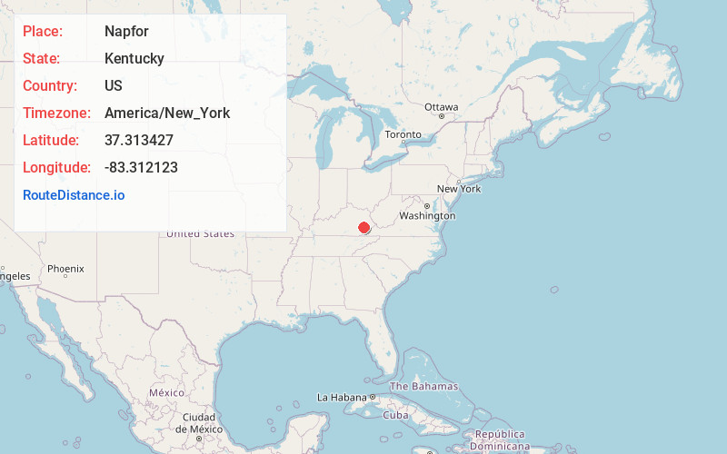
Full AddressNapfor, KY 41754
-
Coordinates37.3134267, -83.3121228
-
LocationNapfor , Kentucky , US
-
TimezoneAmerica/New_York
-
Current Local Time2:41:30 AM America/New_YorkFriday, June 20, 2025
-
Page Views0
About Napfor
Napfor is an unincorporated community and coal town in Perry County, Kentucky, United States.
Nearby Places
Found 10 places within 50 miles

Dunraven
0.7 mi
1.1 km
Dunraven, KY 41754
Get directions
Pigeonroost Branch
2.4 mi
3.9 km
Pigeonroost Branch, Kentucky
Get directions
Lamont
2.5 mi
4.0 km
Lamont, KY 41701
Get directions
Manuel
2.6 mi
4.2 km
Manuel, KY 41701
Get directions
Butterfly
2.8 mi
4.5 km
Butterfly, KY 41719
Get directions
Red Hill
3.0 mi
4.8 km
Red Hill, KY 41701
Get directions
Chavies
3.4 mi
5.5 km
Chavies, KY 41727
Get directions
Typo
4.0 mi
6.4 km
Typo, KY 41719
Get directions

Bonnyman
4.5 mi
7.2 km
Bonnyman, KY 41719
Get directions
Barwick
4.7 mi
7.6 km
Barwick, KY 41339
Get directions
Location Links
Local Weather
Weather Information
Coming soon!
Location Map
Static map view of Napfor, Kentucky
Browse Places by Distance
Places within specific distances from Napfor
Short Distances
Long Distances
Click any distance to see all places within that range from Napfor. Distances shown in miles (1 mile ≈ 1.61 kilometers).