Distance to Napoleon, Missouri

Calculating Your Route
Just a moment while we process your request...
Location Information
-
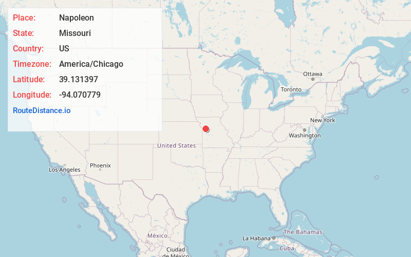
Full AddressNapoleon, MO
-
Coordinates39.131397, -94.0707787
-
LocationNapoleon , Missouri , US
-
TimezoneAmerica/Chicago
-
Current Local Time4:10:54 PM America/ChicagoWednesday, June 18, 2025
-
Page Views0
About Napoleon
Napoleon is a city in Lafayette County, Missouri, and part of the Kansas City metropolitan area within the United States. It is located approximately 30 miles east of Kansas City. The population was 222 at the 2010 census.


Nearby Places
Found 10 places within 50 miles

Wellington
4.7 mi
7.6 km
Wellington, MO 64097
Get directions

Orrick
6.3 mi
10.1 km
Orrick, MO 64077
Get directions

Buckner
6.8 mi
10.9 km
Buckner, MO 64016
Get directions

Sibley
7.3 mi
11.7 km
Sibley, MO
Get directions

Oak Grove
9.3 mi
15.0 km
Oak Grove, MO
Get directions

Henrietta
10.1 mi
16.3 km
Henrietta, MO
Get directions

Grain Valley
10.6 mi
17.1 km
Grain Valley, MO
Get directions

Lexington
10.9 mi
17.5 km
Lexington, MO 64067
Get directions

Odessa
11.1 mi
17.9 km
Odessa, MO 64076
Get directions

Richmond
11.3 mi
18.2 km
Richmond, MO 64085
Get directions
Location Links
Local Weather
Weather Information
Coming soon!
Location Map
Static map view of Napoleon, Missouri
Browse Places by Distance
Places within specific distances from Napoleon
Short Distances
Long Distances
Click any distance to see all places within that range from Napoleon. Distances shown in miles (1 mile ≈ 1.61 kilometers).